


Start-/Ziel: Bolzplatz im Westen des Brunnerfelds
Highlight:
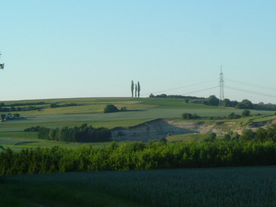
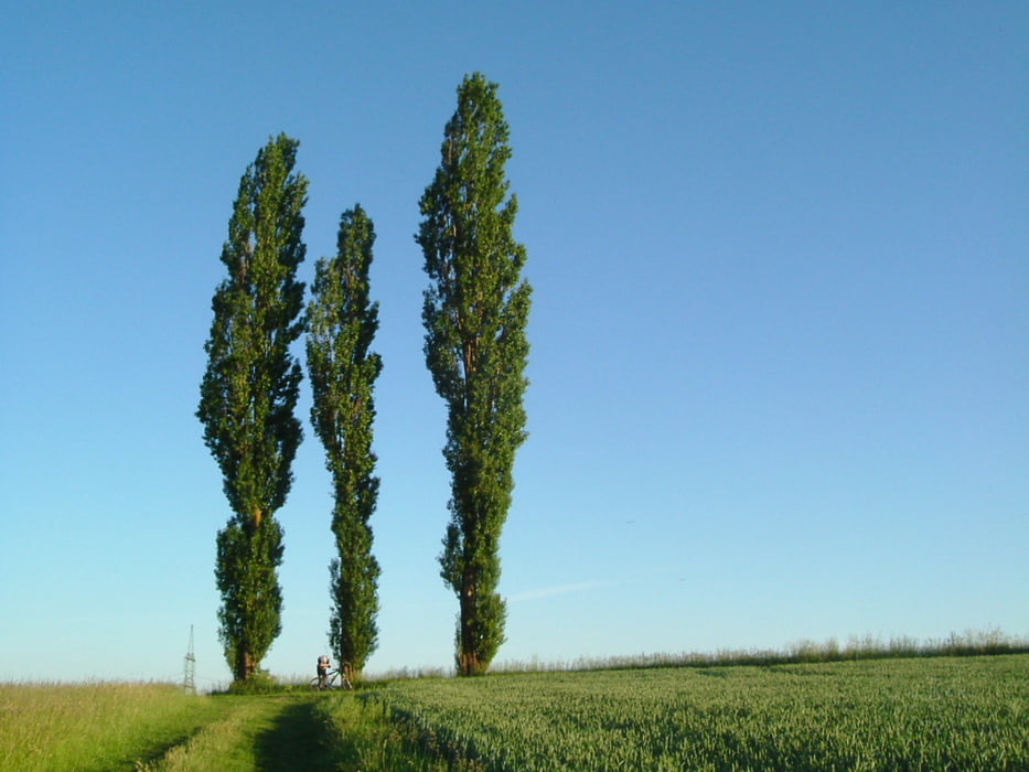
toller Rundumblick bei den drei Pappeln (Kleinpilberskofen-Graflkofen)
Zunächst nach Heimlichleiden, dann Richtung Spiegelbrunn zum ersten und absoluten Härtetest. Weiter Richtung Süden, Weilnbachtalstraße, Aigen, Aiglkofen, Ludersdorf, Gruberhof, Ludersdorf, Griesbach, Anterskofen, Aussichtspunkt -drei Pappeln- Hackerskofen, Holzerkapelle, Frichlkofen, Oberdingolfing, zurück über Brunn zum Startpunkt.
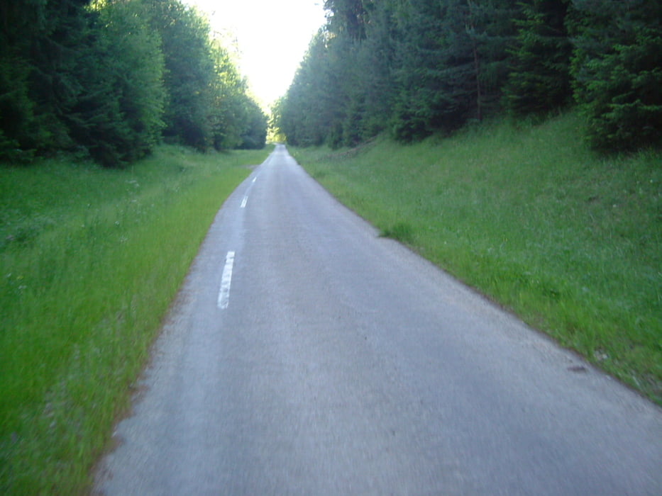
Kaum Asphaltstraßen, hauptsächlich Wald- und Wiesenstraße, Runde von Gschaid nach Birnthal und zurück nach Gschaid etwas anspruchsvollerer Untergrund und Wegbeschaffenheit. Rest easy.
Größere Feierabendrunde, für trockene Tage und etwas geschicktere Fahrer. keine Trails
Keine Einkehr auf der Strecke gefunden
Tour gallery
Tour map and elevation profile
Minimum height 369 m
Maximum height 510 m
More about the tour author
|
|
charly60 |
Comments

zunächst nach DGF, Frontenhausener Str., Abzweig Ringstraße Richtung Brunn. Am westlichen Ende befindet sich der Parkplatz am Bolzplatz
GPS tracks
Trackpoints-
GPX / Garmin Map Source (gpx) download
-
TCX / Garmin Training Center® (tcx) download
-
CRS / Garmin Training Center® (crs) download
-
Google Earth (kml) download
-
G7ToWin (g7t) download
-
TTQV (trk) download
-
Overlay (ovl) download
-
Fugawi (txt) download
-
Kompass (DAV) Track (tk) download
-
Track data sheet (pdf) download
-
Original file of the author (gpx) download
More about the tour author
|
|
charly60 |
Add to my favorites
Remove from my favorites
Edit tags
Open track
My score
Rate