Login

Forgot your login?

Cookies have to be accepted!
Your browser's cookie functionality is disabled. Please enable this functionality.

Not a member yet?

Register now
Login

Available for registred users only

Log in to use this feature.

Forgot your login?

Cookies have to be accepted!
Your browser's cookie functionality is disabled. Please enable this functionality.

Not a member yet?

Register now
Filter
Categories
Advanced filters
  • Distance (km)
  • Height
Save filters Reset filter

TrackRank

QRCode

Technical data

Distance15,0 km Height553 m Way down576 m Duration03:35 h:m Date01.06.2011
Scores Author Landscape Fun factor Fitness Technique

Statistics

1112 Views Scores 99 Downloads Average
Rate
  • Track data sheet
  • Directions
  • Downloads
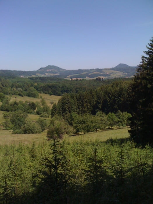
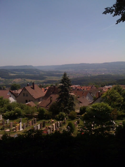
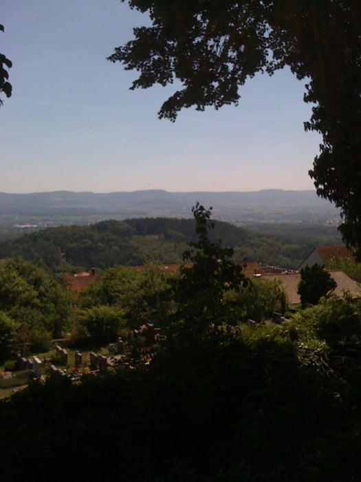
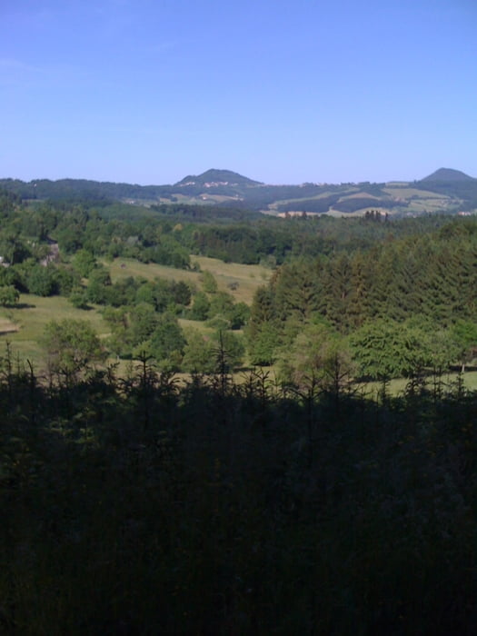
Wir starten beim Wannenhof, gehen hoch zur Ortschaft Hohenstaufen, umrunden den Hohenstaufen und gehen weiter vorbei an den Schonterhöfen zum Strudelhof, über Jackenhöfe und Herberhöfe nach Ottenbach. In Ottenbach rechts und zurück zum Ausgangspunkt.

Tour gallery

Tour map and elevation profile

  • Open Street Map
  • Google
Minimum height 362 m Maximum height 638 m Detailed view

More about the tour author

whasch
Member since 2009

Send private message

Comments

Wanderparkplatz zwischen Göppingen und Hohenstaufen

GPS tracks

Trackpoints
  • GPX / Garmin Map Source (gpx) download
  • TCX / Garmin Training Center® (tcx) download
  • CRS / Garmin Training Center® (crs) download
  • Google Earth (kml) download
  • G7ToWin (g7t) download
  • TTQV (trk) download
  • Overlay (ovl) download
  • Fugawi (txt) download
  • Kompass (DAV) Track (tk) download
  • Track data sheet (pdf) download
  • Original file of the author (gpx) download

More about the tour author

whasch
Member since 2009

Send private message
Share track
Add to my favorites
Remove from my favorites
Edit tags
My score
Rate
Track: Um den Hohenstaufen
Type: Hiking
Distance: 15,0 km
Evaluated on:
Duration:
Day(s)
Hour(s)
Minute(s)
Score: Landscape Fun factor Fitness Technique