Login

Forgot your login?

Cookies have to be accepted!
Your browser's cookie functionality is disabled. Please enable this functionality.

Not a member yet?

Register now
Login

Available for registred users only

Log in to use this feature.

Forgot your login?

Cookies have to be accepted!
Your browser's cookie functionality is disabled. Please enable this functionality.

Not a member yet?

Register now
Filter
Categories
Advanced filters
  • Distance (km)
  • Height
Save filters Reset filter

TrackRank

QRCode

Technical data

Distance26,1 km Height0 m Way down0 m Duration00:00 h:m Date01.06.2011
Scores Author Landscape Fun factor Fitness Technique

Statistics

906 Views Scores 62 Downloads Average
Rate
  • Track data sheet
  • Directions
  • Downloads
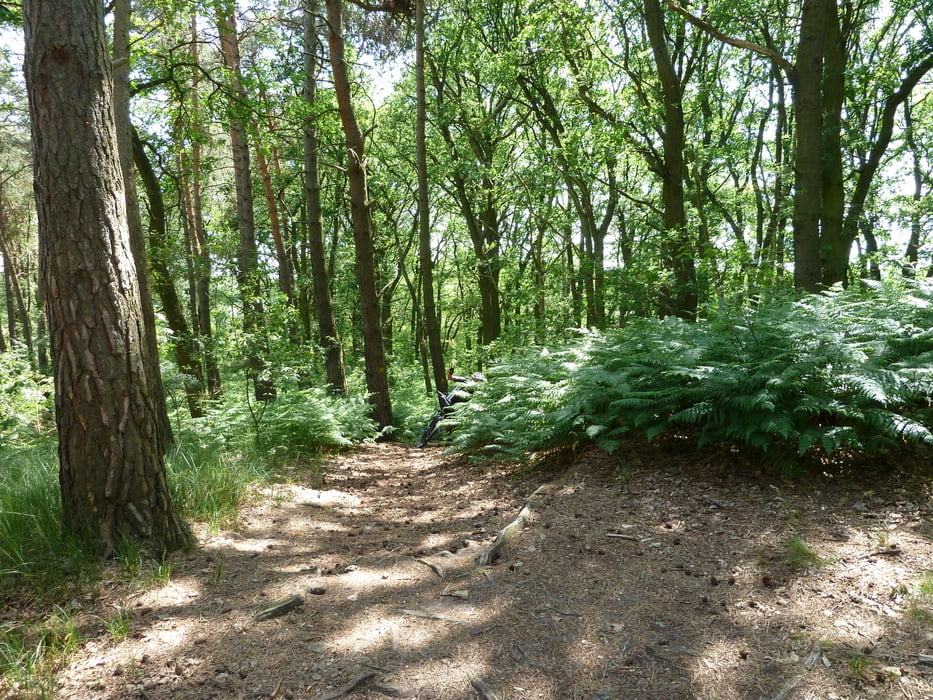
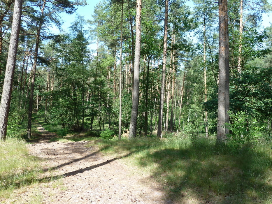
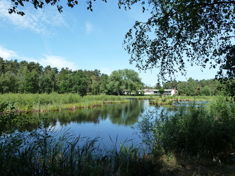
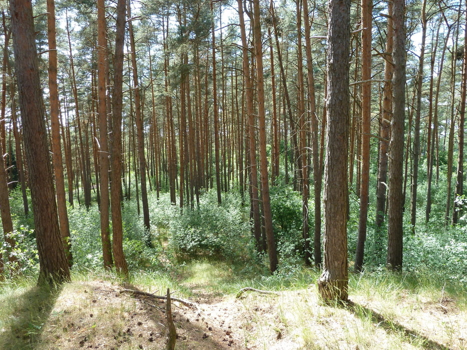
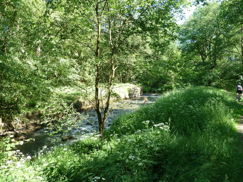
Tour um Gifhorn - durch die Gifhorner Schweiz. Tolle Singletrails in schöner Landschaft. Teilweise ist das Gras auf den Wegen recht hoch, so das diese nicht leicht zu erkennen sind. Weiche Reitwege fordern ab und an ein wenig Kondition ...

Tour gallery

Tour map and elevation profile

  • Open Street Map
  • Google
Minimum height 99999 m Maximum height -99999 m Detailed view

More about the tour author

xav0300
Member since 2011

Send private message

Comments

Brauhaus / Kulturzentrum in Gifhorn. Freie Parkplätze stehen zur Verfügung.

GPS tracks

Trackpoints
  • GPX / Garmin Map Source (gpx) download
  • TCX / Garmin Training Center® (tcx) download
  • CRS / Garmin Training Center® (crs) download
  • Google Earth (kml) download
  • G7ToWin (g7t) download
  • TTQV (trk) download
  • Overlay (ovl) download
  • Fugawi (txt) download
  • Kompass (DAV) Track (tk) download
  • Track data sheet (pdf) download
  • Original file of the author (gpx) download

More about the tour author

xav0300
Member since 2011

Send private message
Share track
Add to my favorites
Remove from my favorites
Edit tags
My score
Rate
Track: Gifhorner Schweiz
Type: Mountain bike
Distance: 26,1 km
Evaluated on:
Duration:
Day(s)
Hour(s)
Minute(s)
Score: Landscape Fun factor Fitness Technique