


Diese Tour führt durch den Königsforst; das ist ein Wald auf der rechten Rheinseite. Der Straßenbelag ist größtenteils sehr gut fahrbar: Asphalt oder gut ausgebaute Walwege. Lediglich an der Forsbacher Mühle müssen ein paar Meter geschoben werden. Ein Höhenanstieg wird im einem wunderbaren Ausblick ins Rheintal belohnt.
Update Juni 2012: Habe Tour noch einmal gemacht und aktuelle Fotos reingestellt. Der Blick lohnt sich. Allerdings war der Waldweg hiner dem Aussichtpunkt nicht befahrbar, da Pferde den regennaßen Boden aufgeweicht hatten. Dort hieß es schieben.
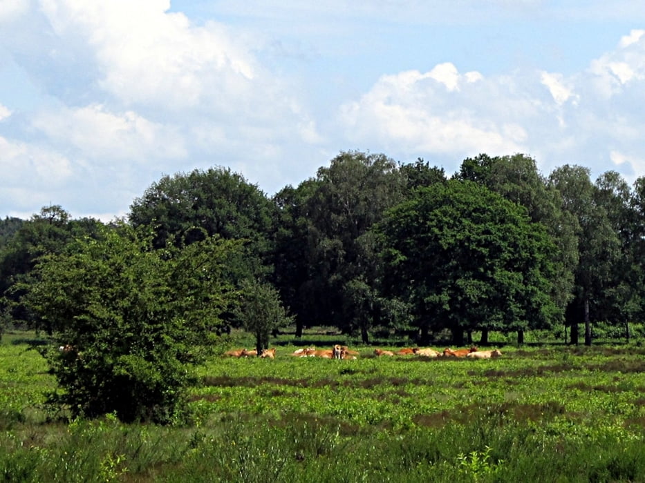
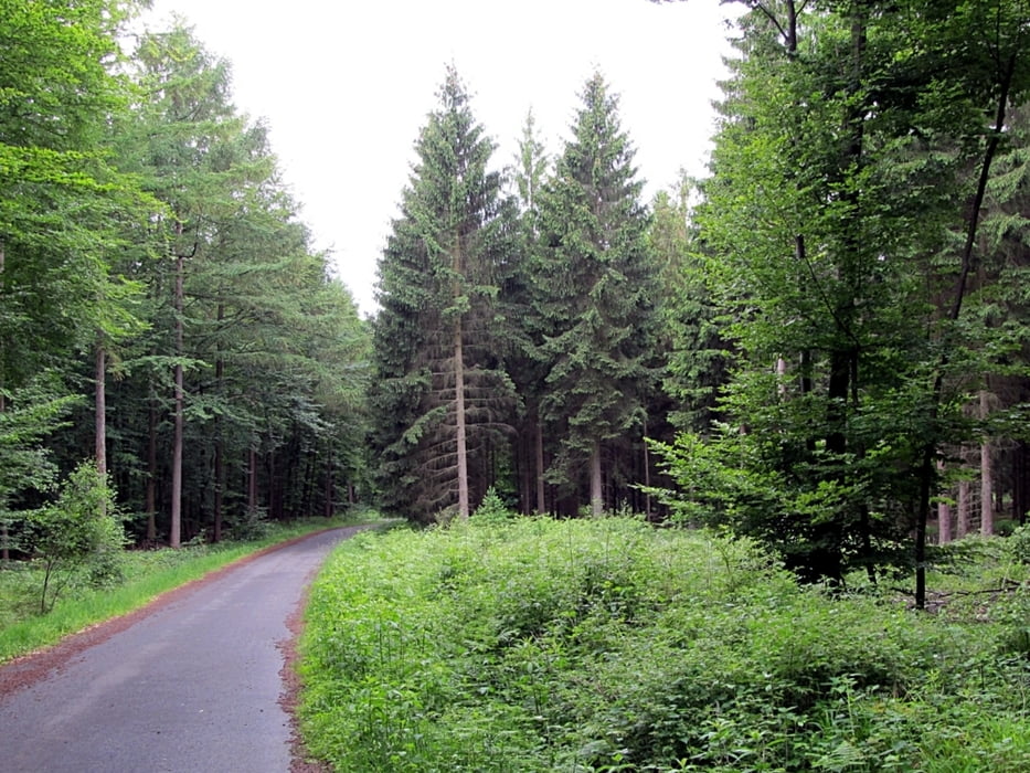
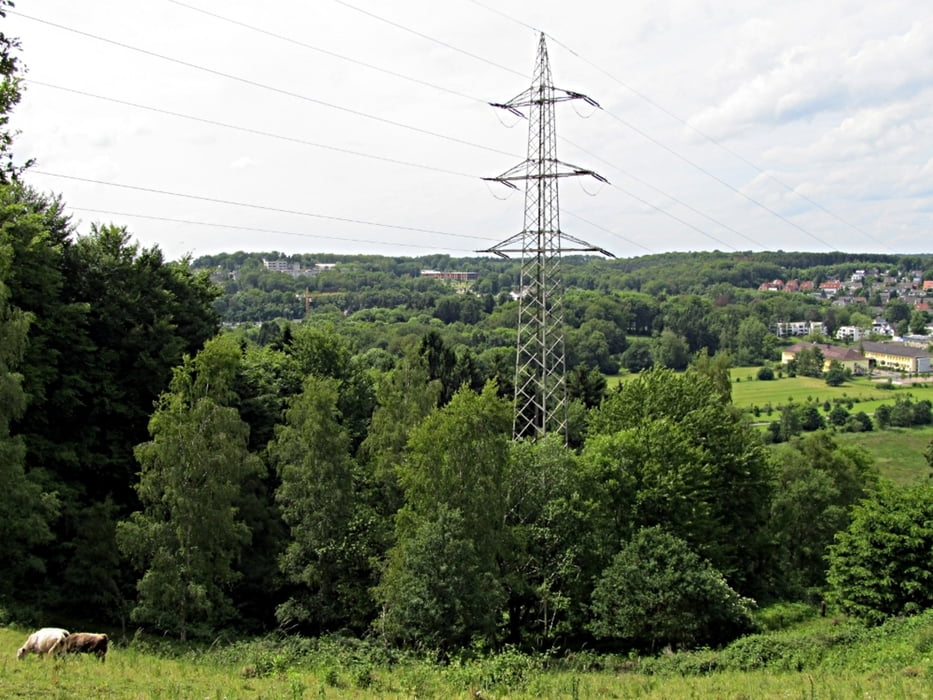
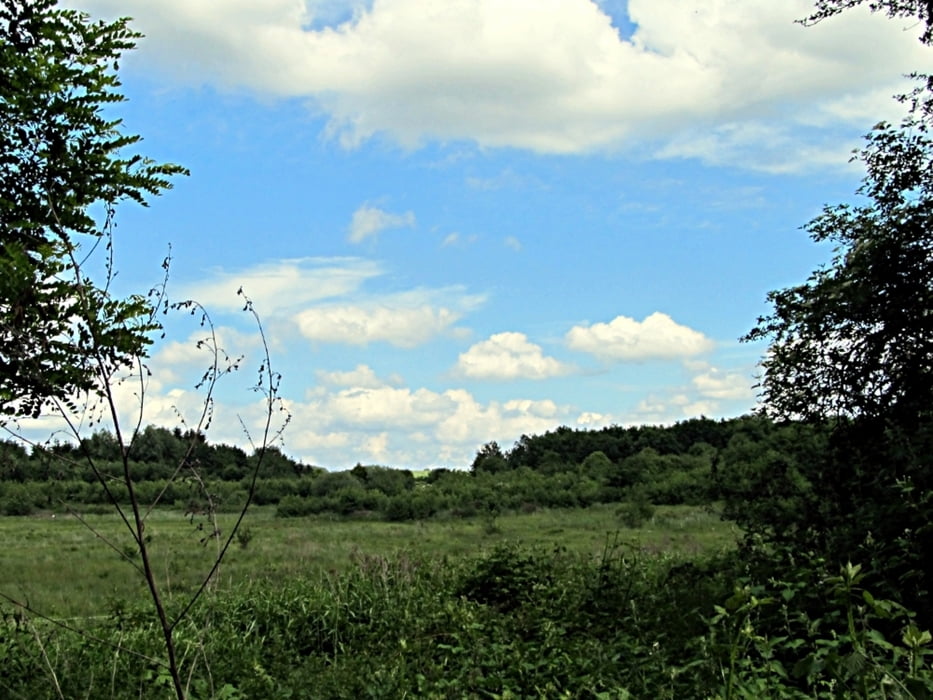
Tour gallery
Tour map and elevation profile
Minimum height 46 m
Maximum height 169 m
More about the tour author
|
|
RonPabst |
Comments

Es ist ein Rundkurs. Wer von Köln mit der Bahn anreisen will, kann zum Bahnhof Rösrath fahren.
GPS tracks
Trackpoints-
GPX / Garmin Map Source (gpx) download
-
TCX / Garmin Training Center® (tcx) download
-
CRS / Garmin Training Center® (crs) download
-
Google Earth (kml) download
-
G7ToWin (g7t) download
-
TTQV (trk) download
-
Overlay (ovl) download
-
Fugawi (txt) download
-
Kompass (DAV) Track (tk) download
-
Track data sheet (pdf) download
-
Original file of the author (gpx) download
More about the tour author
|
|
RonPabst |
Add to my favorites
Remove from my favorites
Edit tags
Open track
My score
Rate