Login

Forgot your login?

Cookies have to be accepted!
Your browser's cookie functionality is disabled. Please enable this functionality.

Not a member yet?

Register now
Login

Available for registred users only

Log in to use this feature.

Forgot your login?

Cookies have to be accepted!
Your browser's cookie functionality is disabled. Please enable this functionality.

Not a member yet?

Register now
Filter
Categories
Advanced filters
  • Distance (km)
  • Height
Save filters Reset filter

TrackRank

QRCode

Technical data

Distance21,8 km Height548 m Way down545 m Duration02:00 h:m Date03.06.2011
Scores Author Landscape Fun factor Fitness Technique

Statistics

266 Views Scores 43 Downloads Average
Rate
  • Track data sheet
  • Directions
  • Downloads


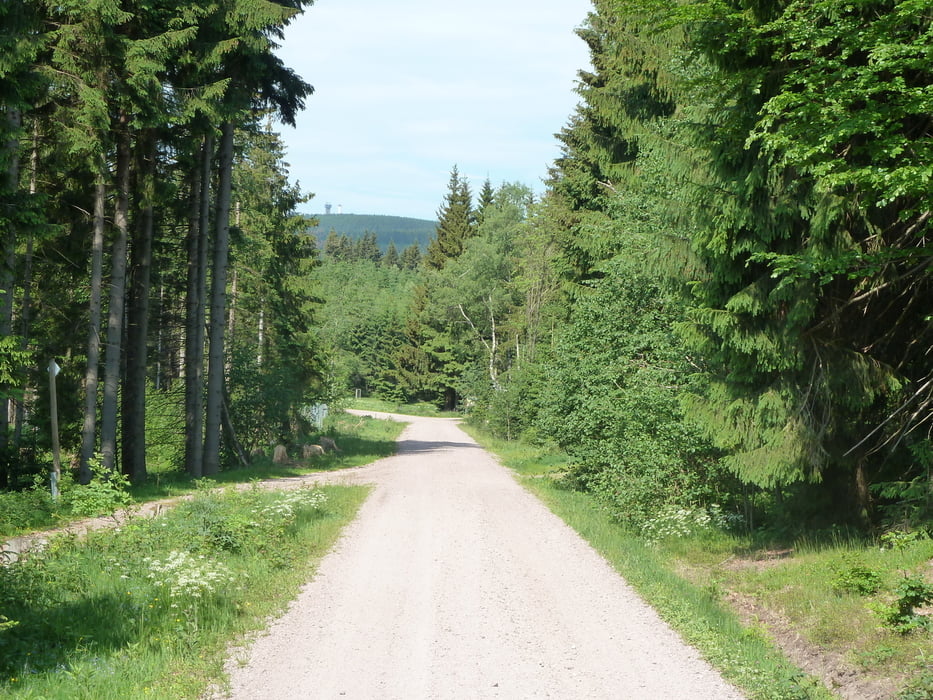
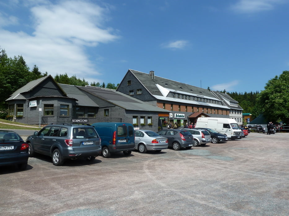
nette Einstiegstour, herrliche Landschaft, wunderbare Einkehrmöglichkeiten. Konditionell nicht sehr anspruchsvoll. Meist Schotter bzw. Waldpisten, einfach zu fahren. Hat viel Spaß gemacht, das Wetter hat gestimmt.

Tour gallery

Tour map and elevation profile

  • Open Street Map
  • Google
Minimum height 475 m Maximum height 985 m Detailed view

More about the tour author

heikes
Member since 2009

Send private message

Comments

GPS tracks

Trackpoints
  • GPX / Garmin Map Source (gpx) download
  • TCX / Garmin Training Center® (tcx) download
  • CRS / Garmin Training Center® (crs) download
  • Google Earth (kml) download
  • G7ToWin (g7t) download
  • TTQV (trk) download
  • Overlay (ovl) download
  • Fugawi (txt) download
  • Kompass (DAV) Track (tk) download
  • Track data sheet (pdf) download
  • Original file of the author (gpx) download

More about the tour author

heikes
Member since 2009

Send private message
Share track
Add to my favorites
Remove from my favorites
Edit tags
My score
Rate
Track: Von Gehlberg zum Schneekopf
Type: Mountain bike
Distance: 21,8 km
Evaluated on:
Duration:
Day(s)
Hour(s)
Minute(s)
Score: Landscape Fun factor Fitness Technique