


Tour wird im Uhrzeigersinn gefahren.
Start ist an der Brauereigaststätte Mönchswasen in Simmozheim.
Simmozheim - Neuhengstett - Fuchsklinge hinab - In Hirsau am Kloster vorbei und dann links halten Richtung Schweinbachtal - Am Anfang des Schweinbachtales gabelt sich der Weg. Wenn hier rechtsgefahren wid so wie in meiner Tour dann stellt euch auf eine schöne Tragepassage ein :-), seht es einfach als Training. Wer sich das nicht antun möchte, der hält sich an der Gabelung geradeaus den Berg nach oben immer Richtung Oberreichenbach und kommt an dr gleichen Stelle raus. In Oberreichenbach angekommen weiter nach - Oberkollbach - Hirsau - Richtung Bad Liebenzell - Wolfsschlucht - Ottenbronn streifen - Simmozheim Mönchswasen
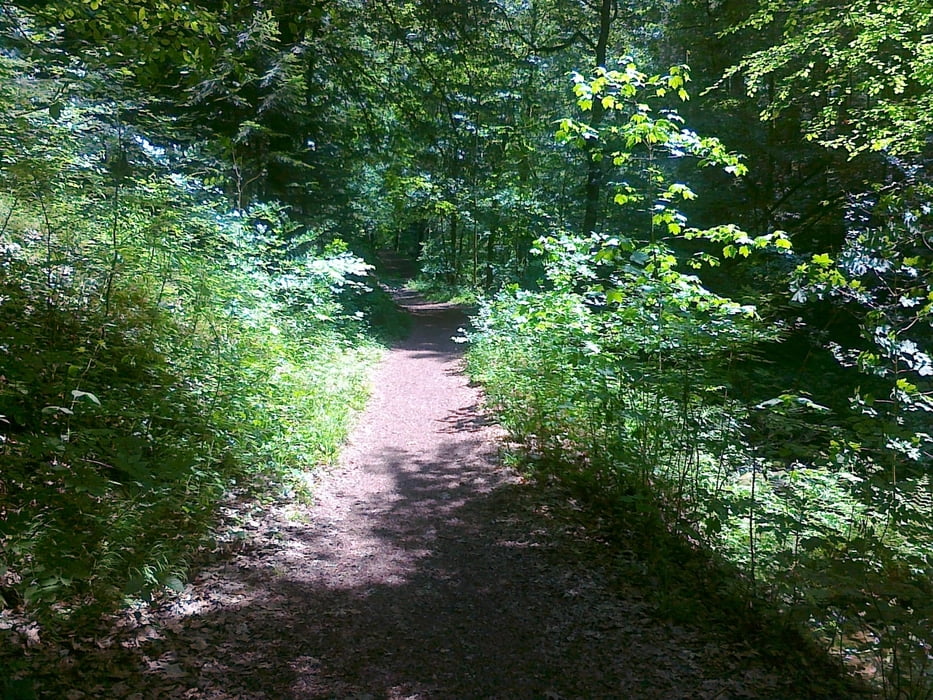
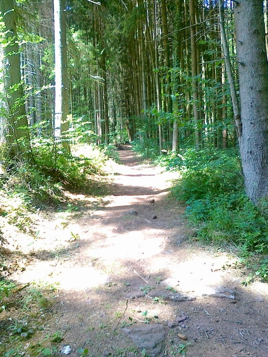
Tour hat zum Teil tolle Ausblicke, schöne Trails und auch sonst ist von allem etwas dabei.
Viel Spass beim Nachfahren
Tour gallery
Tour map and elevation profile
Minimum height 337 m
Maximum height 676 m
More about the tour author
|
|
tweissi |
Comments

B295 2. Ausfahrt Simmozheim (nicht die erste nehmen!)von Weil der Stadt her kommend und gleich rechts auf den Parkplatz fahren bei der Brauereigaststätte Mönchswasen.
GPS tracks
Trackpoints-
GPX / Garmin Map Source (gpx) download
-
TCX / Garmin Training Center® (tcx) download
-
CRS / Garmin Training Center® (crs) download
-
Google Earth (kml) download
-
G7ToWin (g7t) download
-
TTQV (trk) download
-
Overlay (ovl) download
-
Fugawi (txt) download
-
Kompass (DAV) Track (tk) download
-
Track data sheet (pdf) download
-
Original file of the author (gpx) download
More about the tour author
|
|
tweissi |
Add to my favorites
Remove from my favorites
Edit tags
Open track
My score
Rate