Login

Forgot your login?

Cookies have to be accepted!
Your browser's cookie functionality is disabled. Please enable this functionality.

Not a member yet?

Register now
Login

Available for registred users only

Log in to use this feature.

Forgot your login?

Cookies have to be accepted!
Your browser's cookie functionality is disabled. Please enable this functionality.

Not a member yet?

Register now
Filter
Categories
Advanced filters
  • Distance (km)
  • Height
Save filters Reset filter

TrackRank

QRCode

Technical data

Distance61,9 km Height1636 m Way down1702 m Duration05:00 h:m Date03.06.2011
Scores Author User Landscape Fun factor Fitness Technique

Statistics

962 Views 1 Score 76 Downloads 5.00 Average
Rate
  • Track data sheet
  • Directions
  • Downloads

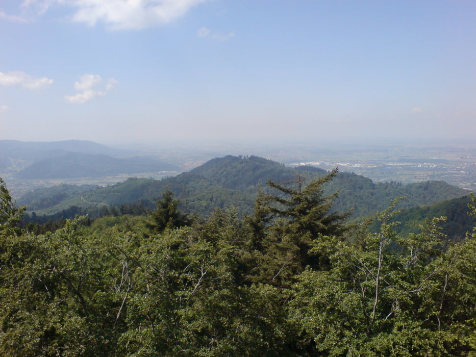
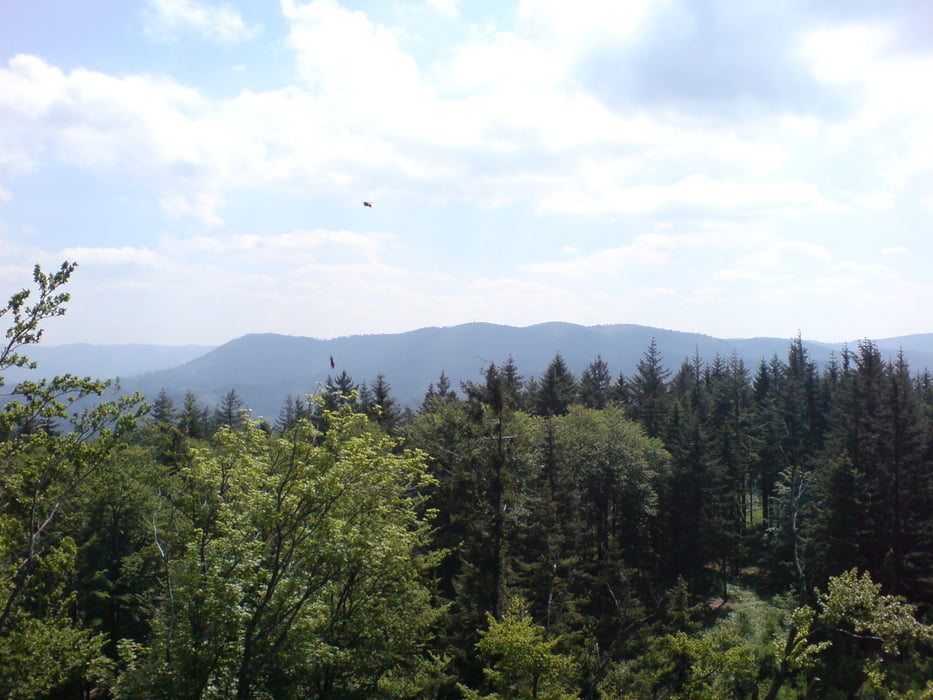
Von Lahr aus geht es am Soldatengrab und Rauhörnle vorbei nach Gengenbach. Von Gengenbach hoch auf den Mooskopf und weiter zum Brandeckkopf. Über einen Singletrail bis zum Hohen Horn. Jetzt gehts weiter über Ortenberg, Zunsweier, Diersburg zurück nach Lahr.


Tour gallery

Tour map and elevation profile

  • Open Street Map
  • Google
Minimum height 157 m Maximum height 873 m Detailed view

More about the tour author

Pandabaer
Member since 2009

Send private message

Comments

GPS tracks

Trackpoints
  • GPX / Garmin Map Source (gpx) download
  • TCX / Garmin Training Center® (tcx) download
  • CRS / Garmin Training Center® (crs) download
  • Google Earth (kml) download
  • G7ToWin (g7t) download
  • TTQV (trk) download
  • Overlay (ovl) download
  • Fugawi (txt) download
  • Kompass (DAV) Track (tk) download
  • Track data sheet (pdf) download
  • Original file of the author (gpx) download

More about the tour author

Pandabaer
Member since 2009

Send private message
Share track
Add to my favorites
Remove from my favorites
Edit tags
My score
Rate
Track: Lahr-Mooskopf-Brandeckkopf-Hohes Horn-Lahr
Type: Mountain bike
Distance: 61,9 km
Evaluated on:
Duration:
Day(s)
Hour(s)
Minute(s)
Score: Landscape Fun factor Fitness Technique