


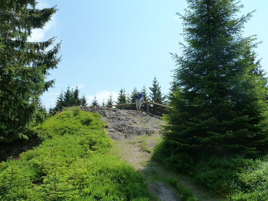
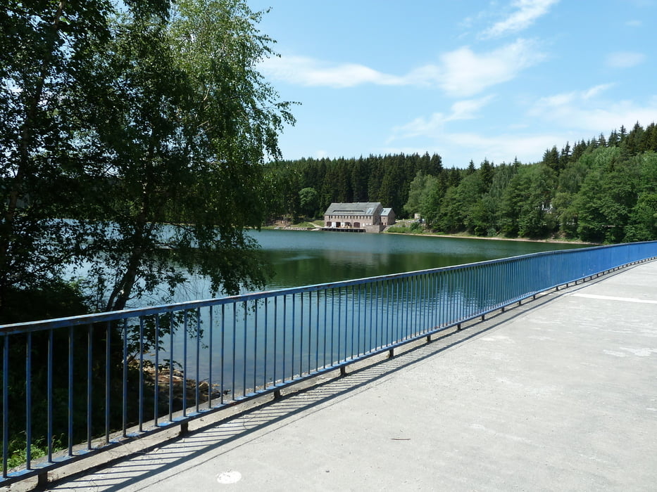
gewandert wird von Gehlberg über Oberhof nach Dörrberg - vorbei an einem niedlichen Stausee. Landschaftlich sehr schön und nicht allzu anstrengend.
Wir haben auf dem Rückweg ab Dörrberg die Bahn genommen und sind bis Gehlberg gefahren - aktueller Preis pro Person 2,10 €.
In Gehlberg stand dann zu unserer Überraschung ein Bus, der uns direkt vor das Hotel gebracht hat (Kosten 1,10 € pro Person).
Wäre hier kein Bus gestanden, so wären noch einmal 1,8 km mit 200 Höhenmetern hinzu gekommen.
Tour gallery


Tour map and elevation profile
Minimum height 431 m
Maximum height 823 m
More about the tour author
|
|
heikes |
Comments

GPS tracks
Trackpoints-
GPX / Garmin Map Source (gpx) download
-
TCX / Garmin Training Center® (tcx) download
-
CRS / Garmin Training Center® (crs) download
-
Google Earth (kml) download
-
G7ToWin (g7t) download
-
TTQV (trk) download
-
Overlay (ovl) download
-
Fugawi (txt) download
-
Kompass (DAV) Track (tk) download
-
Track data sheet (pdf) download
-
Original file of the author (gpx) download
More about the tour author
|
|
heikes |
Add to my favorites
Remove from my favorites
Edit tags
Open track
My score
Rate