


Diesmal bin ich von Rotenburg a. d. Fulda über Bebra, Gilfershausen, Imshausen, Solz usw. nach Hause gefahren.
Von Rotenburg über Lispenhausen nach Bebra über Radwege. Bebra bis Solz und über die Hohe Buche über die Landstraße. Am Ende der Kreisstraße nicht nach links richtung Nentershausen sondern gerade über in den Feldweg und dann in den Wald.
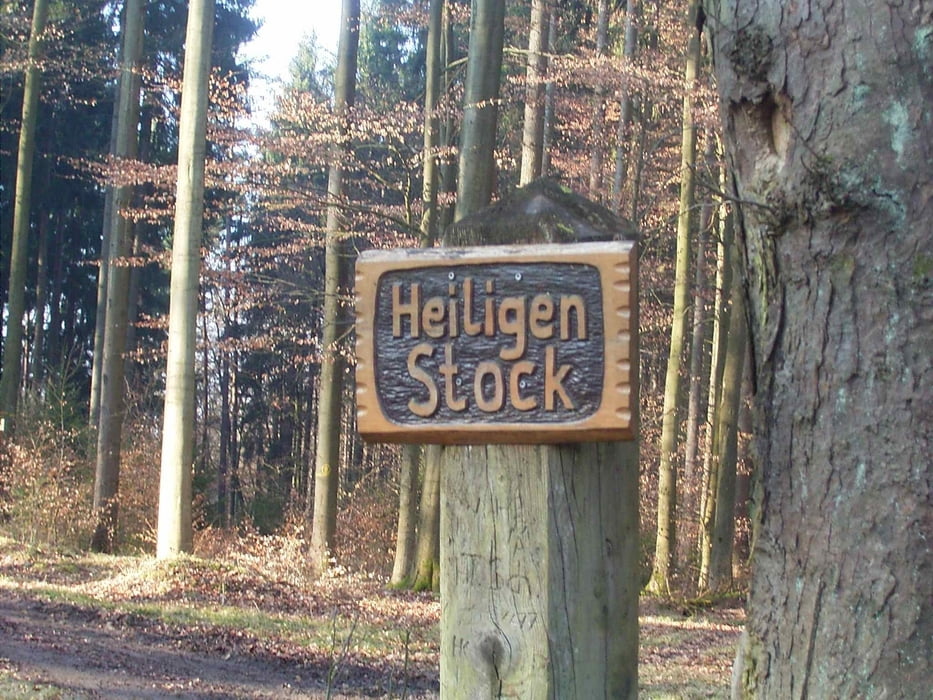
Durch den Wald geht es dann entlang der Franzoseneiche den Höhenweg weiter bis zur Kreuzung Heiligenstock. Dann über Gut Libenz weiter in Richtung Obersuhl.
Tour gallery


Tour map and elevation profile
Minimum height 179 m
Maximum height 445 m
More about the tour author
|
|
mweber |
Comments

Start Rotenburg Bahnhof - Bebra Bahnhof geht auch.
GPS tracks
Trackpoints-
GPX / Garmin Map Source (gpx) download
-
TCX / Garmin Training Center® (tcx) download
-
CRS / Garmin Training Center® (crs) download
-
Google Earth (kml) download
-
G7ToWin (g7t) download
-
TTQV (trk) download
-
Overlay (ovl) download
-
Fugawi (txt) download
-
Kompass (DAV) Track (tk) download
-
Track data sheet (pdf) download
-
Original file of the author (gpx) download
More about the tour author
|
|
mweber |
Add to my favorites
Remove from my favorites
Edit tags
Open track
My score
Rate