


Gut in ca. 30 bis 45 min aus dem Großraum Düsseldorf zu erreichen.
Einkehrmöglichkeit: Dalheimer Mühle
Start und Ziel ist die Dalheimer Mühle (Dalheim-Roedgen) N51 08.876 E6 09.809
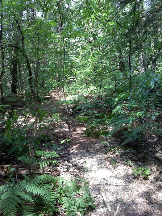
Tour führt fast ausschließlich durch den Wald. Da sich breite Wanderwege und schmale Pfade (siehe Fotos) mit unterschiedlichen Untergrund abwechseln, ist festes Schuhwerk (jetzt nicht unbedingt Hochgebirgsschuhe ;-) ) zu empfehlen!!!
Further information at
http://www.dalheim-roedgen.infoTour gallery


Tour map and elevation profile
Minimum height 19 m
Maximum height 415 m
More about the tour author

|
Tomwalterfrank |
Comments

Anfahrt über Autobahn A52 Richtung Roermond AS 3, dann Richtung Wassenberg
Ziel Dalheimer Mühle (Arsbeck, Dalheim-Rödgen) N 51 08.806 E 006 09.930
GPS tracks
Trackpoints-
GPX / Garmin Map Source (gpx) download
-
TCX / Garmin Training Center® (tcx) download
-
CRS / Garmin Training Center® (crs) download
-
Google Earth (kml) download
-
G7ToWin (g7t) download
-
TTQV (trk) download
-
Overlay (ovl) download
-
Fugawi (txt) download
-
Kompass (DAV) Track (tk) download
-
Track data sheet (pdf) download
-
Original file of the author (gpx) download
More about the tour author
|
|
Tomwalterfrank |
Add to my favorites
Remove from my favorites
Edit tags
Open track
My score
Rate