


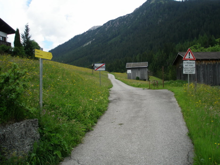
Start in Bichlbach. Auf der Landesstrasse über Berwang nach Rinnnen. Dort auf Forststrasse zum Rotlech-Stausee. Achtung: Der Track führt auf dem Schluchtwanderweg zum Stausee (teilweise Schiebe-, Tragestrecke). Ab der Staumauer auf der Forststrasse 613 bis nach Weißenbach am Lech. Im Lechtal auf Radwanderweg über Forchach nach Stanzach. Ab hier wieder Aufstieg auf der Landesstrasse nach Namlos. Weiter auf dem Wanderweg bis Kelmen (höchster Punkt erreicht). Zurück auf der Landesstrasse über Rinnen, Berwang nach Bichlbach.
Tour gallery


Tour map and elevation profile
Minimum height 890 m
Maximum height 1382 m
More about the tour author
|
|
simplon73 |
Comments

GPS tracks
Trackpoints-
GPX / Garmin Map Source (gpx) download
-
TCX / Garmin Training Center® (tcx) download
-
CRS / Garmin Training Center® (crs) download
-
Google Earth (kml) download
-
G7ToWin (g7t) download
-
TTQV (trk) download
-
Overlay (ovl) download
-
Fugawi (txt) download
-
Kompass (DAV) Track (tk) download
-
Track data sheet (pdf) download
-
Original file of the author (gpx) download
More about the tour author
|
|
simplon73 |
Add to my favorites
Remove from my favorites
Edit tags
Open track
My score
Rate