


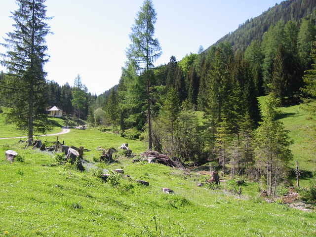
Der Start ist am Campingplatz Müller, ganz im WEsten des Weissensees. Von dort geht es über Techendorf, vorbei an der Mühlwand bis hinauf zur Alm hintern Brunn (Einkehrmöglichkeit). Von dort über langezogenes Gefälle bis nach Stockenboi. Unterbrochen von einer kurzen ASphaltstrecke geht es über einen Forstweg vorbei an der Fischerhütte und am Tscherniheim (Glasbläserdorf) auf die Bodenalm(2.Einkehrmöglichkeit). Von der Bodenalm über steile Forststrasse bis zum Paterzipf. Auf Asphalt gehts dann über Unternaggl entlang des Sees zurück zum Ausgangspunkt.
Tour gallery
Tour map and elevation profile
Minimum height 894 m
Maximum height 1238 m
More about the tour author

|
mwallnoefer |
Comments

GPS tracks
Trackpoints-
GPX / Garmin Map Source (gpx) download
-
TCX / Garmin Training Center® (tcx) download
-
CRS / Garmin Training Center® (crs) download
-
Google Earth (kml) download
-
G7ToWin (g7t) download
-
TTQV (trk) download
-
Overlay (ovl) download
-
Fugawi (txt) download
-
Kompass (DAV) Track (tk) download
-
Track data sheet (pdf) download
-
Original file of the author (g7t) download
More about the tour author
|
|
mwallnoefer |
Add to my favorites
Remove from my favorites
Edit tags
Open track
My score
Rate