


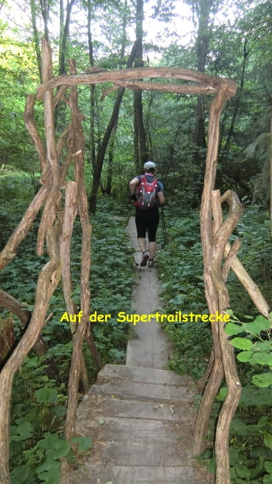
SH-Supertail-Ultralauf über 120km (1. Etappe 66km, 2. Etappe 54km)
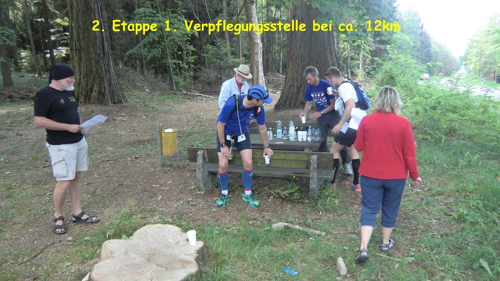
Ich habe an der 2. Etappe teilgenommen. Start war in Braunshausen (Nähe Nonnweiler) an dem dortigem Sporthotel des saarländischen Fußballverbandes.
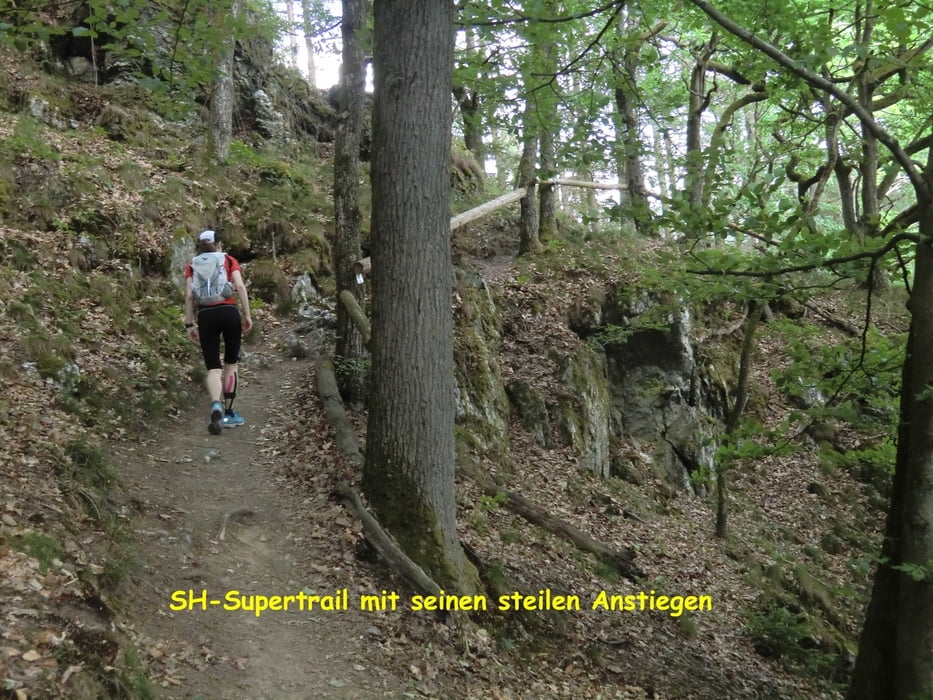
Der Traillauf führte von da aus zum Nonnweiler Stausee und dann weiter auf dem Saar-Hunsrück-Steig bis nach Trier
Further information at
http://www.sh-supertrail.deTour gallery
Tour map and elevation profile
Minimum height 128 m
Maximum height 657 m
More about the tour author
|
|
DerLäufer |
Comments

Autobahn bis zur Abfahrt Braunshausen, dann zum Sporthotel Peterbergsstr. 40
GPS tracks
Trackpoints-
GPX / Garmin Map Source (gpx) download
-
TCX / Garmin Training Center® (tcx) download
-
CRS / Garmin Training Center® (crs) download
-
Google Earth (kml) download
-
G7ToWin (g7t) download
-
TTQV (trk) download
-
Overlay (ovl) download
-
Fugawi (txt) download
-
Kompass (DAV) Track (tk) download
-
Track data sheet (pdf) download
-
Original file of the author (gpx) download
More about the tour author
|
|
DerLäufer |
Add to my favorites
Remove from my favorites
Edit tags
Open track
My score
Rate