


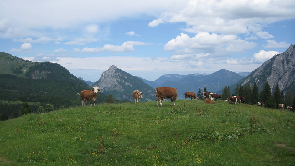
Die Postalm ist das Größte Almengebiet Österreichs und zweitgrößte Hochplateau Europas mit einer Höhenlage von 1200-1900m.
Kleine aber feine Panoramatour mit Asphalt-Schotter und Singletrails.Gestartet sind wir bei einen der zahlreichen Parkplätze entlang der Straße wo sich im Winter die Skifahrer tummeln.Zuerst gehts auf Asphalt zum oberen Parkplatz weiter einen Singletrail zur Huberhütte weiter auf einer Forststraße bis zur Asphaltstraße dieser bergauf folgen.Am Scheitelpunkt fahren wir ca.500m bergab hier die Forststraße links Richtung Thumaualm,nach einen steilen Anstieg einige werden fluchen andere werden durchfahren gehts links Richtung Postalm auf Singletrails und zum Schluss auf einer Forststraße zurück zum Ausgangspunkt.
Einkehr bei der Schnitzhofalm die eigene Produkte erzeugt!
Tour gallery


Tour map and elevation profile
Minimum height 1156 m
Maximum height 1371 m
More about the tour author
|
|
rudolfo |
Comments

GPS tracks
Trackpoints-
GPX / Garmin Map Source (gpx) download
-
TCX / Garmin Training Center® (tcx) download
-
CRS / Garmin Training Center® (crs) download
-
Google Earth (kml) download
-
G7ToWin (g7t) download
-
TTQV (trk) download
-
Overlay (ovl) download
-
Fugawi (txt) download
-
Kompass (DAV) Track (tk) download
-
Track data sheet (pdf) download
-
Original file of the author (gpx) download
More about the tour author
|
|
rudolfo |
Add to my favorites
Remove from my favorites
Edit tags
Open track
My score
Rate