Login

Forgot your login?

Cookies have to be accepted!
Your browser's cookie functionality is disabled. Please enable this functionality.

Not a member yet?

Register now
Login

Available for registred users only

Log in to use this feature.

Forgot your login?

Cookies have to be accepted!
Your browser's cookie functionality is disabled. Please enable this functionality.

Not a member yet?

Register now
Filter
Categories
Advanced filters
  • Distance (km)
  • Height
Save filters Reset filter

TrackRank

QRCode

Technical data

Distance61,9 km Height266 m Way down275 m Duration03:00 h:m Date26.05.2007
Scores Author User Landscape Fun factor Fitness Technique

Statistics

2578 Views 4 Scores 578 Downloads 3.00 Average
Rate
  • Track data sheet
  • Directions
  • Downloads
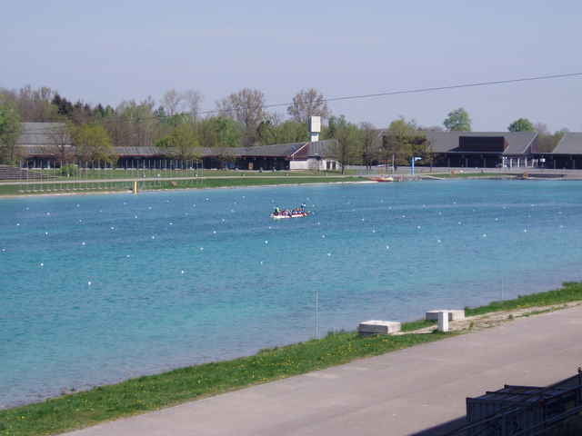
Nette Tour durch den Münchner Norden, vorbei am Schloß Schleißheim und der Ruder-Regatta. Zwischenstop zum Eis essen in Dachau und im Biergarten Mariabrunn.

Tour gallery

Tour map and elevation profile

  • Open Street Map
  • Google
Minimum height 459 m Maximum height 510 m Detailed view

More about the tour author

Steph
Member since 2007

Send private message

Comments

Joe_S. on 23.09.2007

Erweiterung für Nichtheimische

Unbedingt mitnehmen sollte man einen kleinen Eindruck von der KZ-Gedenkstätte in Dachau und auch ein Abstecher zur Allianzarena ist einfach zu finden (... bei Sichtkontakt einfach den S-Bahn-Schienen entlang...)
sonst eine äußerst familientaugliche Runde

GPS tracks

Trackpoints
  • GPX / Garmin Map Source (gpx) download
  • TCX / Garmin Training Center® (tcx) download
  • CRS / Garmin Training Center® (crs) download
  • Google Earth (kml) download
  • G7ToWin (g7t) download
  • TTQV (trk) download
  • Overlay (ovl) download
  • Fugawi (txt) download
  • Kompass (DAV) Track (tk) download
  • Track data sheet (pdf) download
  • Original file of the author (gpx) download

More about the tour author

Steph
Member since 2007

Send private message
Share track
Add to my favorites
Remove from my favorites
Edit tags
My score
Rate
Track: Tour durch den Münchner Norden
Type: Mountain bike
Distance: 61,9 km
Evaluated on:
Duration:
Day(s)
Hour(s)
Minute(s)
Score: Landscape Fun factor Fitness Technique