Login

Forgot your login?

Cookies have to be accepted!
Your browser's cookie functionality is disabled. Please enable this functionality.

Not a member yet?

Register now
Login

Available for registred users only

Log in to use this feature.

Forgot your login?

Cookies have to be accepted!
Your browser's cookie functionality is disabled. Please enable this functionality.

Not a member yet?

Register now
Filter
Categories
Advanced filters
  • Distance (km)
  • Height
Save filters Reset filter

TrackRank

QRCode

Technical data

Distance39,9 km Height1047 m Way down1057 m Duration04:00 h:m Date10.06.2011
Scores Author Landscape Fun factor Fitness Technique

Statistics

890 Views Scores 94 Downloads Average
Rate
  • Track data sheet
  • Directions
  • Downloads

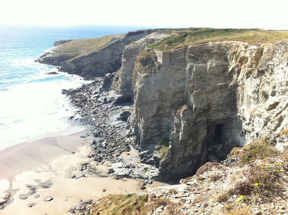
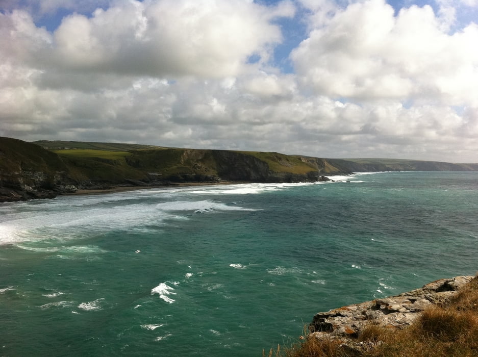
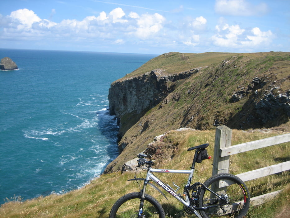
 Start und Ziel: der Parkplatz an der Tintagel Church, direkt am Coast Path

Die Etappe führte bis Port Issac, dann über die B-Roads wieder zurück.

einiges an Tragerei dabei, verdammich...

Tour gallery

Tour map and elevation profile

  • Open Street Map
  • Google
Minimum height Maximum height 299 m Detailed view

More about the tour author

Pitcairn
Member since 2008

Send private message

Comments

GPS tracks

Trackpoints
  • GPX / Garmin Map Source (gpx) download
  • TCX / Garmin Training Center® (tcx) download
  • CRS / Garmin Training Center® (crs) download
  • Google Earth (kml) download
  • G7ToWin (g7t) download
  • TTQV (trk) download
  • Overlay (ovl) download
  • Fugawi (txt) download
  • Kompass (DAV) Track (tk) download
  • Track data sheet (pdf) download
  • Original file of the author (gpx) download

More about the tour author

Pitcairn
Member since 2008

Send private message
Share track
Add to my favorites
Remove from my favorites
Edit tags
My score
Rate
Track: Northern Cornwall - Coast Path
Type: Mountain bike
Distance: 39,9 km
Evaluated on:
Duration:
Day(s)
Hour(s)
Minute(s)
Score: Landscape Fun factor Fitness Technique