


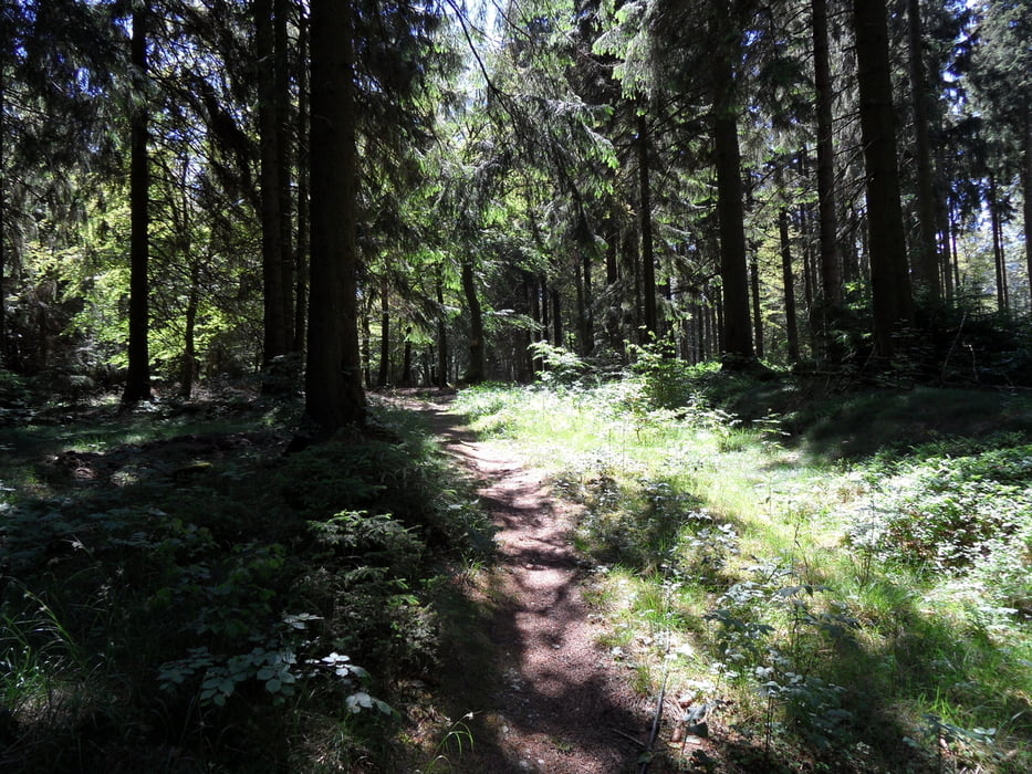
War mal wieder in Willingen und neue Touren erhalten. Den Grenzkammtrail in einer anderen Routenführung mit neuen super Trails und Downhills :-))) Da lacht das Herz. Auch die Uphills haben es in sich. Es geht hier auf und ab.
Noch mehr Trails 45% der Tour!!!
Eine wirklich zu empfehlende Tour, sicherlich einer der Highlights!
Viel Spazzzz beim biken!
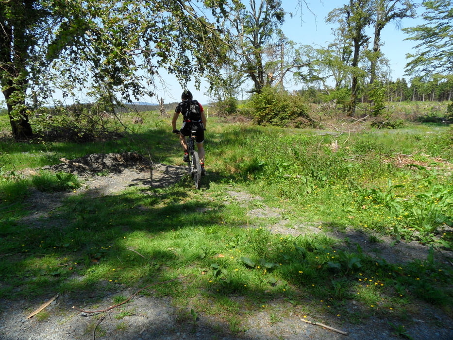
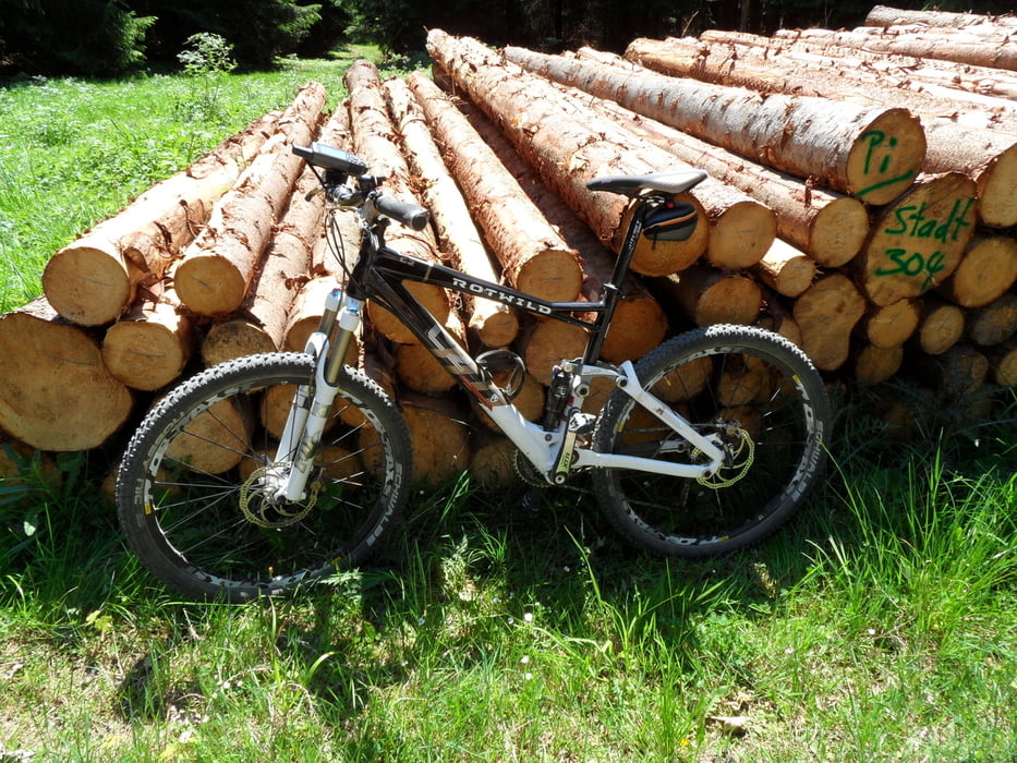
Tour gallery
Tour map and elevation profile
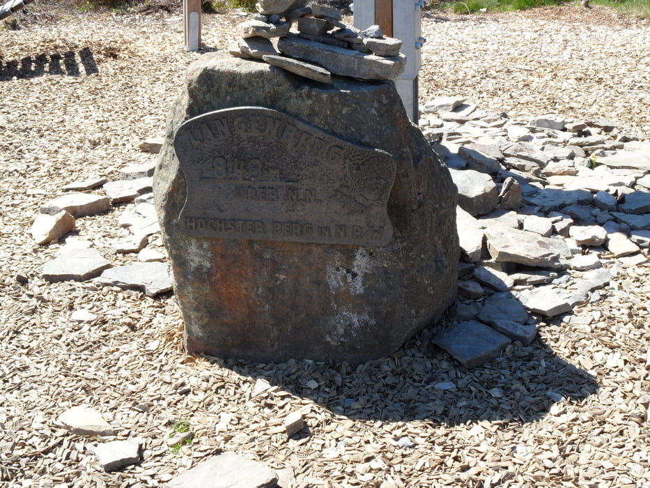
Minimum height 454 m
Maximum height 840 m
More about the tour author
|
|
Ghostrocker |
Comments
GPS tracks
Trackpoints-
GPX / Garmin Map Source (gpx) download
-
TCX / Garmin Training Center® (tcx) download
-
CRS / Garmin Training Center® (crs) download
-
Google Earth (kml) download
-
G7ToWin (g7t) download
-
TTQV (trk) download
-
Overlay (ovl) download
-
Fugawi (txt) download
-
Kompass (DAV) Track (tk) download
-
Track data sheet (pdf) download
-
Original file of the author (gpx) download
More about the tour author
|
|
Ghostrocker |
Add to my favorites
Remove from my favorites
Edit tags
Open track
My score
Rate
Sauerland 2
tour ist bei der man die Forstwege rauf und runter fährt
und die einzige Abwechslung der Untergrund ist.Bei dieser Tour haben mich vor allem die Abfahrten begeistert,oft steil im Singletrail,manchmal verwurzelt
und manchmal nicht Anfänger geeignet.Da nimt man die
eine oder andere Forstwegautobahn gern in Kauf.