Login

Forgot your login?

Cookies have to be accepted!
Your browser's cookie functionality is disabled. Please enable this functionality.

Not a member yet?

Register now
Login

Available for registred users only

Log in to use this feature.

Forgot your login?

Cookies have to be accepted!
Your browser's cookie functionality is disabled. Please enable this functionality.

Not a member yet?

Register now
Filter
Categories
Advanced filters
  • Distance (km)
  • Height
Save filters Reset filter

TrackRank

QRCode

Technical data

Distance17,8 km Height315 m Way down305 m Duration00:00 h:m Date11.06.2011
Scores Author Landscape Fun factor Fitness Technique

Statistics

705 Views Scores 115 Downloads Average
Rate
  • Track data sheet
  • Directions
  • Downloads
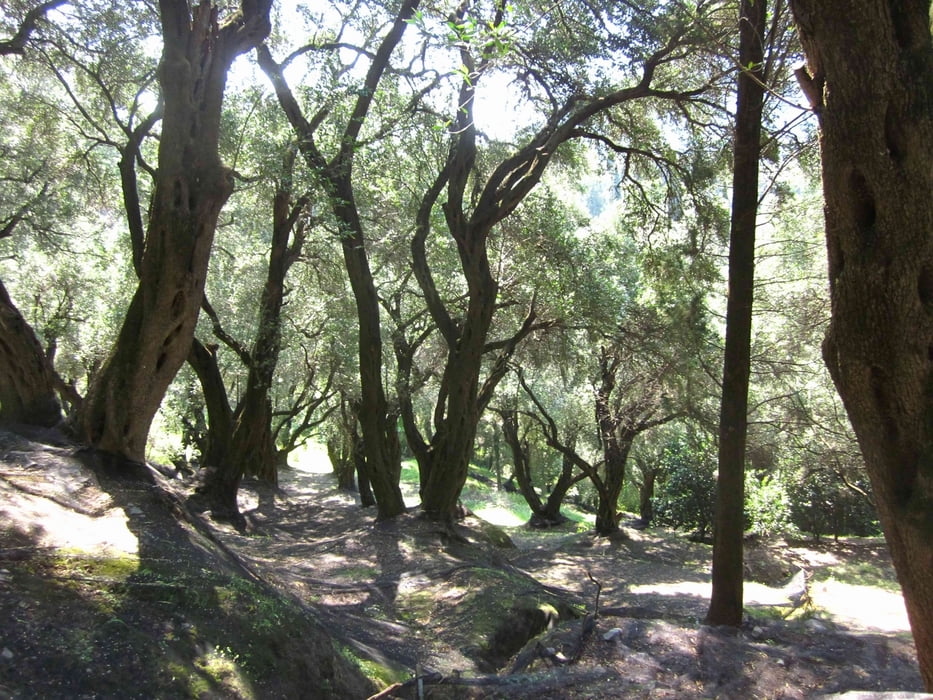
Strecke startet in Agios Georgios und führt durch das Honigtal nach Pagi und wieder zurück

Tour gallery

Tour map and elevation profile

  • Open Street Map
  • Google
Minimum height -6 m Maximum height 196 m Detailed view

More about the tour author

msdetroit
Member since 2007

Send private message

Comments


Start am Strand in Agios Georgios am Supermarkt San George


GPS tracks

Trackpoints
  • GPX / Garmin Map Source (gpx) download
  • TCX / Garmin Training Center® (tcx) download
  • CRS / Garmin Training Center® (crs) download
  • Google Earth (kml) download
  • G7ToWin (g7t) download
  • TTQV (trk) download
  • Overlay (ovl) download
  • Fugawi (txt) download
  • Kompass (DAV) Track (tk) download
  • Track data sheet (pdf) download
  • Original file of the author (gpx) download

More about the tour author

msdetroit
Member since 2007

Send private message
Share track
Add to my favorites
Remove from my favorites
Edit tags
My score
Rate
Track: Von Agios Georgios nach Pagi
Type: Mountain bike
Distance: 17,8 km
Evaluated on:
Duration:
Day(s)
Hour(s)
Minute(s)
Score: Landscape Fun factor Fitness Technique