
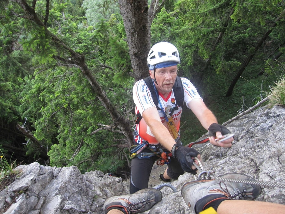

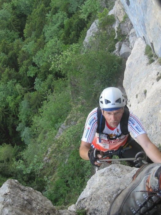
Zuerst die Forststraße entlang, kurz links bergauf bis recht ein Wegweiser zum Klettersteig-Einstieg zeigt. Dort wieder rechts hinunter und dem rutschigen Pfad hinunnter folgen bis man unter der Kapfwand zum Einstieg des Kessi kommt. Dort 200 m weiter bis zum Einstiegsbaum des Kapf. Der Klettersteig geht senkrecht hinauf, ist sehr gut gesichert und mit Trittstiften ausgestattet. Beim Ausstieg den Pfad hinunter , beim Kessi-Ausstieg vorbei zum Ausgangspunkt folgen, oder leicht linkshaltend zum GH Spallenhof.
Man kann auch den Kessi im Abstieg gehen und dann den Kapf hinauf
Tour gallery


Tour map and elevation profile
Minimum height 968 m
Maximum height 1132 m
More about the tour author
|
|
renrew |
Comments

Autobahnabfahrt A14 Götzis. Bei der Kirche Richtung Schwimmbad und weiter über Meschach bis zum Parkplatz 200m vor dem GH Spallenhof.
GPS tracks
Trackpoints-
GPX / Garmin Map Source (gpx) download
-
TCX / Garmin Training Center® (tcx) download
-
CRS / Garmin Training Center® (crs) download
-
Google Earth (kml) download
-
G7ToWin (g7t) download
-
TTQV (trk) download
-
Overlay (ovl) download
-
Fugawi (txt) download
-
Kompass (DAV) Track (tk) download
-
Track data sheet (pdf) download
-
Original file of the author (gpx) download
More about the tour author
|
|
renrew |
Add to my favorites
Remove from my favorites
Edit tags
Open track
My score
Rate