


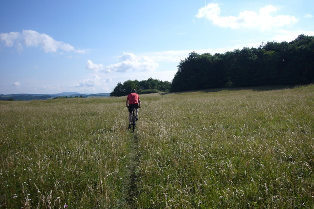
Alle Jahre wieder in Idar! Einfach eine klasse CTF. Muss man gefahren haben. Dies ist die kürzere Runde von 42 km, da ich die 56 km Tour bereits 2010 eingestellt habe. Die Organisation wieder einmal perfekt. Die Trails und Wege nur leicht feucht bzw. trocken. Kein Vergleich zum Vorjahr, da mußte noch ordentlich im Schlamm gestrampelt werden. Bitte unbedingt fahren, es lohnt sich. Tolle Trails und eine prima Wegführung. Danke an den Verein, bis nächstes Jahr, ganz sicher.
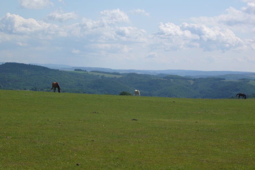
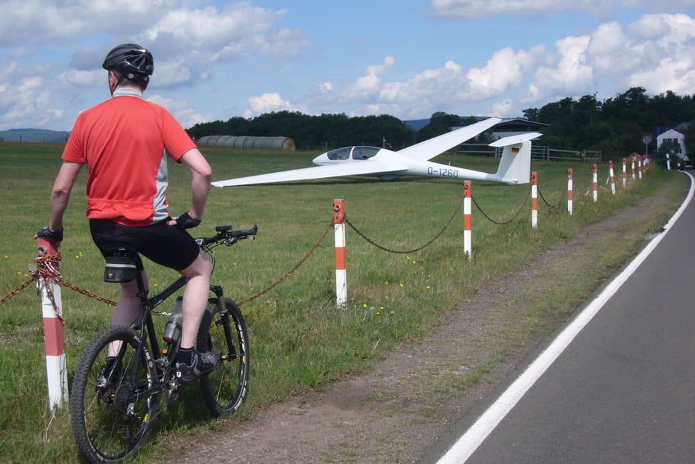
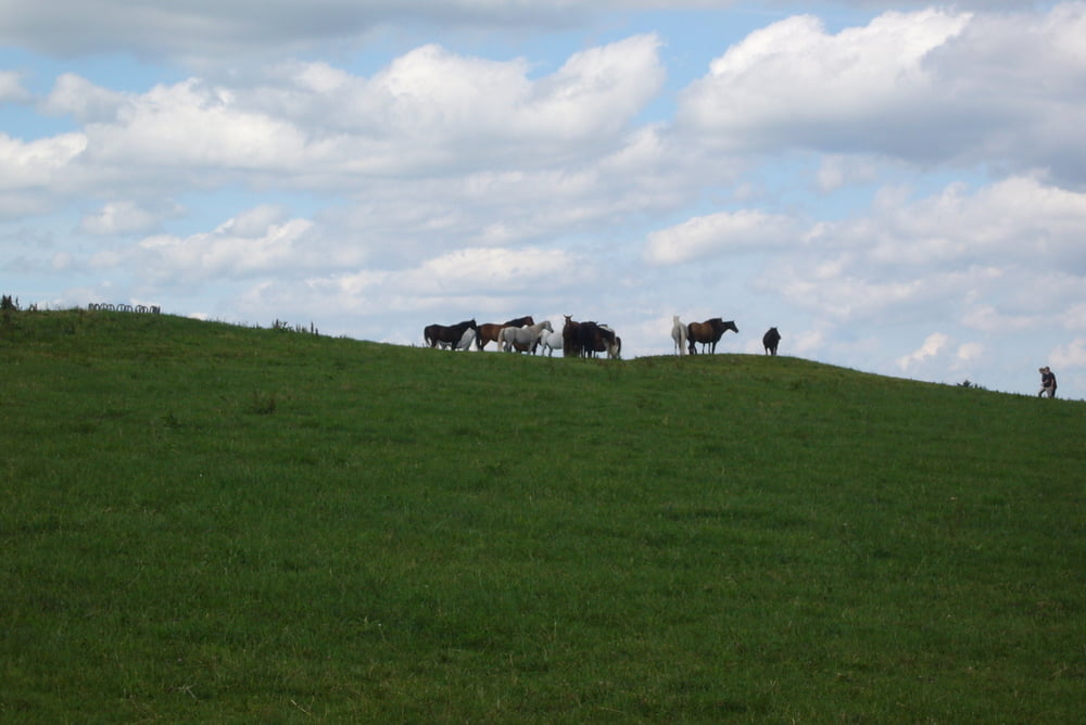
Tour gallery
Tour map and elevation profile
Minimum height 239 m
Maximum height 527 m
More about the tour author
|
|
Adler1 |
Comments

GPS tracks
Trackpoints-
GPX / Garmin Map Source (gpx) download
-
TCX / Garmin Training Center® (tcx) download
-
CRS / Garmin Training Center® (crs) download
-
Google Earth (kml) download
-
G7ToWin (g7t) download
-
TTQV (trk) download
-
Overlay (ovl) download
-
Fugawi (txt) download
-
Kompass (DAV) Track (tk) download
-
Track data sheet (pdf) download
-
Original file of the author (gpx) download
More about the tour author
|
|
Adler1 |
Add to my favorites
Remove from my favorites
Edit tags
Open track
My score
Rate