

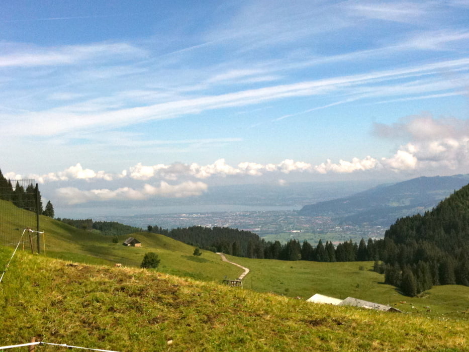
Start ist bei der Hauptschule Haselstauden dann rauf zum Rädermacher Stüben Watzenegg Eisenhartz Kehlegg Bühleralpe Gräserweg runter ins Rudach Kobelalpe richtung Sattelalpe ins Valoursertal bei der Wäldlialpe vorbei an die ander Bachseite ins Ebnit Den Haldenweg rauf Schuttannen und über Spätenbach ins Gütle Dornbirn Oberdorf zurück Haselstauder Hauptschule.
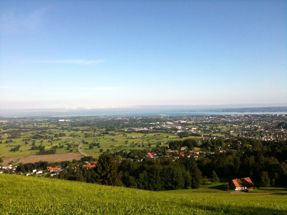
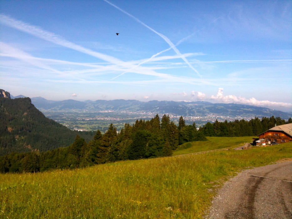
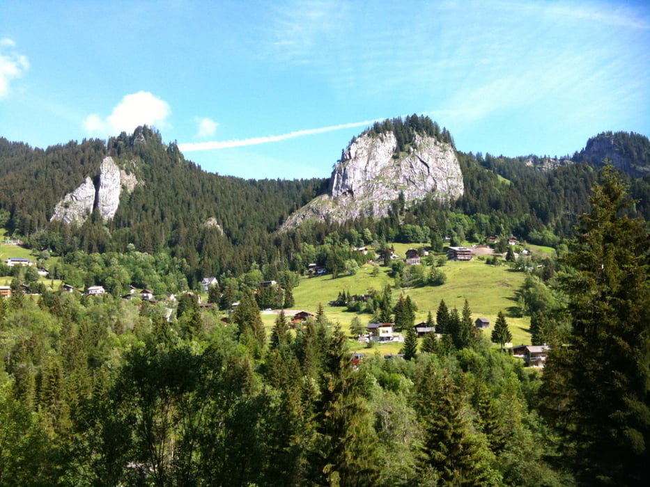
Tour gallery
Tour map and elevation profile
Minimum height 428 m
Maximum height 1319 m
More about the tour author
|
|
Markus69 |
Comments

Rheintal Autobahn A14 Ausfahrt Dornbirn Nord beim Kreisverkehr erste Ausfahrt Richtung
Dornbirn bei der ersten Ampel links, nach der Bahnunterführung gleich erste rechts, 200m auf der linken Seite ist die Hauptschule Haselstauden wo man gratis Parken kann.
GPS tracks
Trackpoints-
GPX / Garmin Map Source (gpx) download
-
TCX / Garmin Training Center® (tcx) download
-
CRS / Garmin Training Center® (crs) download
-
Google Earth (kml) download
-
G7ToWin (g7t) download
-
TTQV (trk) download
-
Overlay (ovl) download
-
Fugawi (txt) download
-
Kompass (DAV) Track (tk) download
-
Track data sheet (pdf) download
-
Original file of the author (gpx) download
More about the tour author
|
|
Markus69 |
Add to my favorites
Remove from my favorites
Edit tags
Open track
My score
Rate