

Variantenmix aus Guglzipf und Wolfsgeist mit Peilsteinverziehrung
Start/Endpunkt: Guntramsdorf bzw. Kottingbrunn (dann 30 km/ 1 Stunde kürzer)
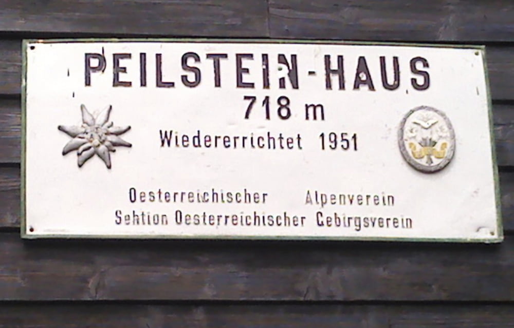
Von Guntramsdorf am Wr. Neustädter Kanal nach Kottingbrunn (bis Ende 2011 wegen Baustelle Südautobahn, Umleitung über Bad Vöslau). Rechts neben Autobahnauffahrt - Start Guglzipf-Strecke (Beschilderung Guglzipf bzw. Triestingtal-Radweg). Am Guglzipf Einkehrmöglichkeit mit schönem Blick über Berndorf (siehe Foto). Nach Abfahrt Guglzipf gehts nach Berndorf. Achtung: dort Abzweigung (weg von Triestingradweg - rechts über Triesting bis Ampel, dort gerade über die Hauptstraße und ca. 50 danach gleich wieder links (Schild Guglzipfstrecke). Dann immer auf Forststraßen bis Schwarzensee. Verzieungsvariante: Peilstein (ca. 200 Hm) mit Einkehrmöglichkeit beim "Air-Bagwirt". Retour auf Straße bis Haidlhof, dort rechts rein zurück auf Guglzipfstrecke und nur mehr bergab retour bis Kottingbrunn.
Tour gallery

Tour map and elevation profile
Minimum height 174 m
Maximum height 721 m
More about the tour author
|
|
funkyFalco |
Comments
Start/Endpunkt: Guntramsdorf bzw. Kottingbrunn (dann 30 km/ 1 Stunde kürzer)
Von Guntramsdorf am Wr. Neustädter Kanal nach Kottingbrunn (bis Ende 2011 wegen Baustellarbeiten Umleitung über Bad Vöslau)
GPS tracks
Trackpoints-
GPX / Garmin Map Source (gpx) download
-
TCX / Garmin Training Center® (tcx) download
-
CRS / Garmin Training Center® (crs) download
-
Google Earth (kml) download
-
G7ToWin (g7t) download
-
TTQV (trk) download
-
Overlay (ovl) download
-
Fugawi (txt) download
-
Kompass (DAV) Track (tk) download
-
Track data sheet (pdf) download
-
Original file of the author (gpx) download
More about the tour author
|
|
funkyFalco |
Add to my favorites
Remove from my favorites
Edit tags
Open track
My score
Rate
Interessante Kombi