

Hallo Leute!
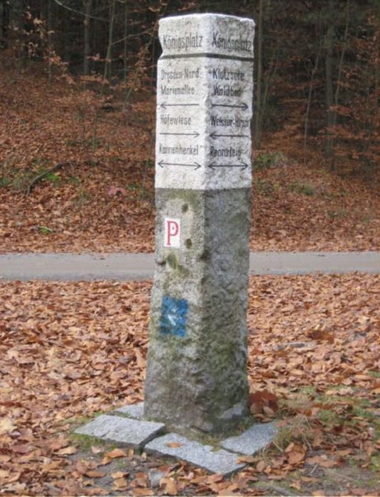
Diese Tour führt euch durch die nördliche Dresdener Heide. Sie startet am Parkplatz in Nähe der Heidemühle. Von hier aus geht es durch den nördlichen Teil der Heide auf sehr komfortablen Wegen. Der Königsplatz lädt zu einem gemütlichen Picknick ein. Die zweite Hälfte der Strecke führt durch die ursprünglichen Wege der Heide. "Alte Vier", Diebsteig und Schwesternsteig sind nur ein paar davon. Die Wegesind etwas schmaler und der Boden auch etwas lockerer.
Viel Spass wünsche ich beim nachwandern! :-)
Und wie immer lohnt es sich, die Tour auf geocaching.com zu vergleichen. ;-)
Tour gallery

Tour map and elevation profile
Minimum height 195 m
Maximum height 246 m
More about the tour author

|
jibb_saw |
Comments

GPS tracks
Trackpoints-
GPX / Garmin Map Source (gpx) download
-
TCX / Garmin Training Center® (tcx) download
-
CRS / Garmin Training Center® (crs) download
-
Google Earth (kml) download
-
G7ToWin (g7t) download
-
TTQV (trk) download
-
Overlay (ovl) download
-
Fugawi (txt) download
-
Kompass (DAV) Track (tk) download
-
Track data sheet (pdf) download
-
Original file of the author (gpx) download
More about the tour author
|
|
jibb_saw |
Add to my favorites
Remove from my favorites
Edit tags
Open track
My score
Rate