


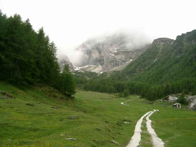
Start ist in Laas beim Eingang ins Lassertal. Am Dorfausgang rechts nach Tarnell.Oberhalb der Höfe folgen wir einem Forstweg bis zum Marmorbruchweg. Vorbei am Knappenhaus erreicht man den Marmorbruch. Auf dem Rückweg führt an der letzten Kehre ein Trail rechts zur Göflaner Alm. Auf einem steilen Forstweg abwärts bis zur KohlplatzHütte. Rechts ab auf dem Forstweg der dann zum Trail wird. Nach ca. 700m überquert man 2 kleine Gebirgsbäche und kommt dann zur Weiskaser Alm. Bergab am Wiebenhof vorbei über die Rodelbahn nach Göflan. Zurück nach Laas auf dem Via Claudia Augusta Radweg.
Further information at
http://www.vinschgaubike.comTour gallery
Tour map and elevation profile
Minimum height 788 m
Maximum height 2164 m
More about the tour author
|
|
Uli |
Comments

Laas liegt an der SS38. Parkmöglichkeiten am Bahnhof.
Am Bahnhof ist auch ein Bikeshop.
Am Bahnhof ist auch ein Bikeshop.
GPS tracks
Trackpoints-
GPX / Garmin Map Source (gpx) download
-
TCX / Garmin Training Center® (tcx) download
-
CRS / Garmin Training Center® (crs) download
-
Google Earth (kml) download
-
G7ToWin (g7t) download
-
TTQV (trk) download
-
Overlay (ovl) download
-
Fugawi (txt) download
-
Kompass (DAV) Track (tk) download
-
Track data sheet (pdf) download
-
Original file of the author (g7t) download
More about the tour author
|
|
Uli |
Add to my favorites
Remove from my favorites
Edit tags
Open track
My score
Rate