


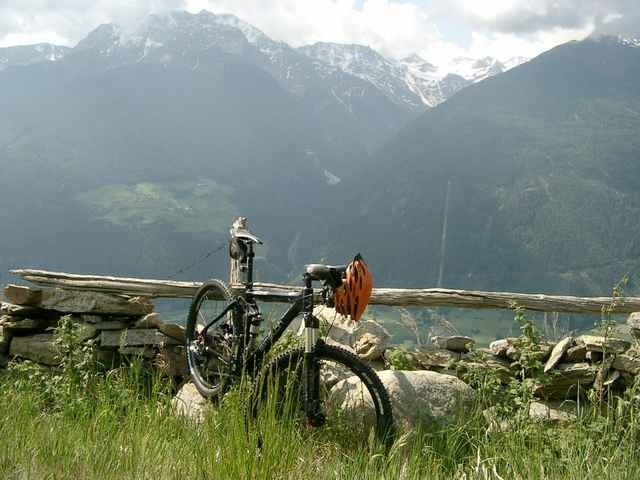
Start und Ziel der Tour ist in Schlanders. Durch Obstplantagen geht es hoch bis auf 1750 M.ü.NN Abwärts auf einem klasse Trail. Vorbei an einer Kapelle. Ideale Tour wenn es nicht so heiß ist, da alles Sonnenseite.
Further information at
http://www.vinschgaubike.comTour gallery
Tour map and elevation profile
Minimum height 706 m
Maximum height 1759 m
More about the tour author
|
|
Uli |
Comments
Start ist in Schlanders an der SS38 beim Hotel Maria Theresia, das wir auch zum Übernachten empfehlen können.Parken hundert Meter weiter beim Supermarkt.
GPS tracks
Trackpoints-
GPX / Garmin Map Source (gpx) download
-
TCX / Garmin Training Center® (tcx) download
-
CRS / Garmin Training Center® (crs) download
-
Google Earth (kml) download
-
G7ToWin (g7t) download
-
TTQV (trk) download
-
Overlay (ovl) download
-
Fugawi (txt) download
-
Kompass (DAV) Track (tk) download
-
Track data sheet (pdf) download
-
Original file of the author (g7t) download
More about the tour author
|
|
Uli |
Add to my favorites
Remove from my favorites
Edit tags
Open track
My score
Rate
Tolle Tour
Bei der Tour wurde die Route etwas geändert, woran man aber nicht vorbeifahren kann.
Sehr schön ist die Abfahrt nach dem Tourhöhepunkt. Schöne Wiesenwege durch die Hänge vom Vinschgau.
Kleiner Haken bei der Tour. Die Strecke vor und nach der Kapelle ist leider nicht zu befahren. Danach aber wie beschrieben.
Mein Navi hat mehr Höhenmeter aufgezeichnet: 1290HM.
Stelle meine Tour mit Bildern und Videos auch noch online. Danke für die Tour, schöner Einstieg in eine Bike Woche.