


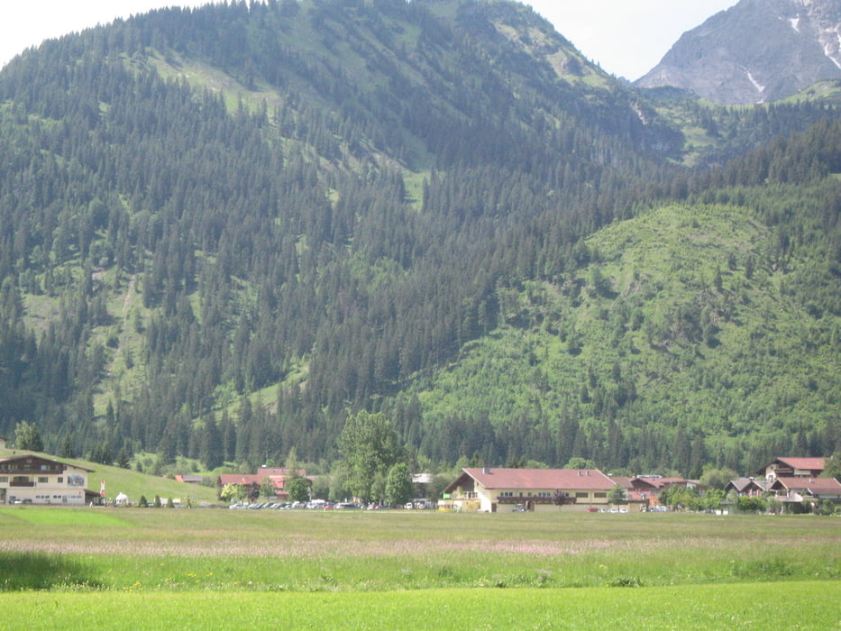
Tolle Tour, die im Vilstal (Wanderparkplatz Vilstalsäge) beginnt und zuerst Bergab nach Pfronten führt.
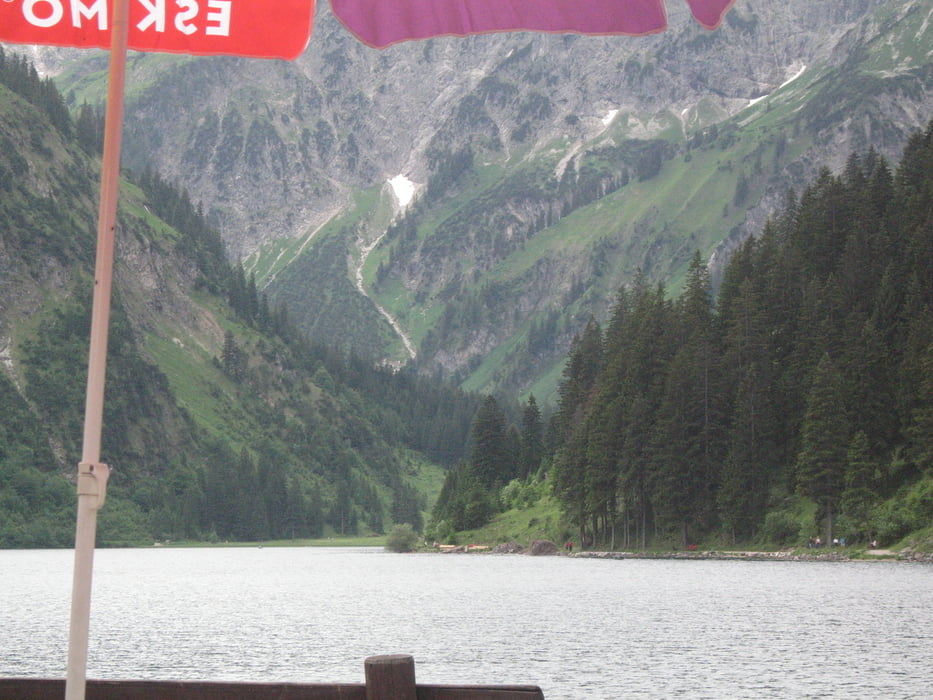
Aus dem Dorf geht es auf dem Radweg immer Bergauf bis Grän erreicht ist. Von hier über Tannheim zum nochmals höher gelegenen Vilsalpsee. Hier bietet sich die Möglichkeit zur Einkehr, um die verbrauchte Energie wieder aufzufüllen.
Nach der Stärkung geht es zurück nach Tannheim. Nach ca 5 flachen Kilometern im Tannheimer Tal,
führt die Route nocheinmal steil Bergauf, um dann über steile Schotterwege wieder zurück ins Vilstal zu führen.
Viel Spass beim nachfahren.
Tour gallery
Tour map and elevation profile
Minimum height 864 m
Maximum height 1181 m
More about the tour author

|
eagle_123 |
Comments
GPS tracks
Trackpoints-
GPX / Garmin Map Source (gpx) download
-
TCX / Garmin Training Center® (tcx) download
-
CRS / Garmin Training Center® (crs) download
-
Google Earth (kml) download
-
G7ToWin (g7t) download
-
TTQV (trk) download
-
Overlay (ovl) download
-
Fugawi (txt) download
-
Kompass (DAV) Track (tk) download
-
Track data sheet (pdf) download
-
Original file of the author (gpx) download
More about the tour author
|
|
eagle_123 |
Add to my favorites
Remove from my favorites
Edit tags
Open track
My score
Rate
Pfronten-Vilsalpsee-Pfronten
Ich bin die Tour am 7.11.2011 gefahren. Mir hat es ausgezeichnet gefallen.
Danke für das Einstellen des Tracks!