

Hallo zusammen,
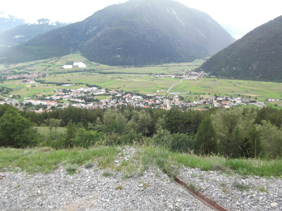
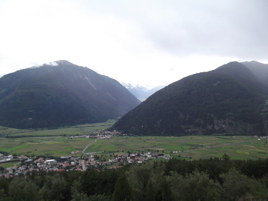
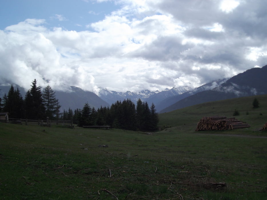
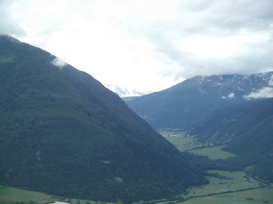
hier eine schöne kleine Abendrunde aus Mals. Es ist erst einmal ein gutes Stück Arbeit sich vom Bahnhof in Mals bis nach ganz oben auf das Hochplateau zu kurbeln von wo aus man eine herrliche Aussicht auf den Rechensee hat. Die Arbeit lohnt sich :-). Der Weg nach oben ist keineswegs uninteressant. Teilweise führt der Weg durch Lichtungen von denen aus sich eine herrliche aussicht auf Mals und das gegenüberliegende Müstair-Tal ergibt. Vom besagten Hochplatteau aus geht es dann permanent Bergab richtung Tratsch. Dieser Weg macht die Route erst richtig zur Panorama Route.
Ich wünsche euch viel Spaß beim nachfahren dieser Route.
Tour gallery
Tour map and elevation profile
Minimum height 1003 m
Maximum height 1599 m
More about the tour author
|
|
Aussenrum75 |
Comments

Start ist der Bahnhof in Mals
GPS tracks
Trackpoints-
GPX / Garmin Map Source (gpx) download
-
TCX / Garmin Training Center® (tcx) download
-
CRS / Garmin Training Center® (crs) download
-
Google Earth (kml) download
-
G7ToWin (g7t) download
-
TTQV (trk) download
-
Overlay (ovl) download
-
Fugawi (txt) download
-
Kompass (DAV) Track (tk) download
-
Track data sheet (pdf) download
-
Original file of the author (gpx) download
More about the tour author
|
|
Aussenrum75 |
Add to my favorites
Remove from my favorites
Edit tags
Open track
My score
Rate