

Wieder eine geniale Tour von unserem Gü.
Wie immer treffen wir uns beim Marktplatz in Katsdorf und radeln am Union Sportplatz vorbei wo wir dann bei Abfahrt Richtung Gratz nach rechts abbiegen., Dann beginnt wieder eine wunderbare Runde entlang Feldern auf Wanderwegen und Rehsteigen nach Ober/Untervisnitz Anitzberg, links von Hagenberg und über Friensdorf wieder zurück.
Eine etwas kürzere aber doch anstrengende und anspruchsvolle Tour!!!
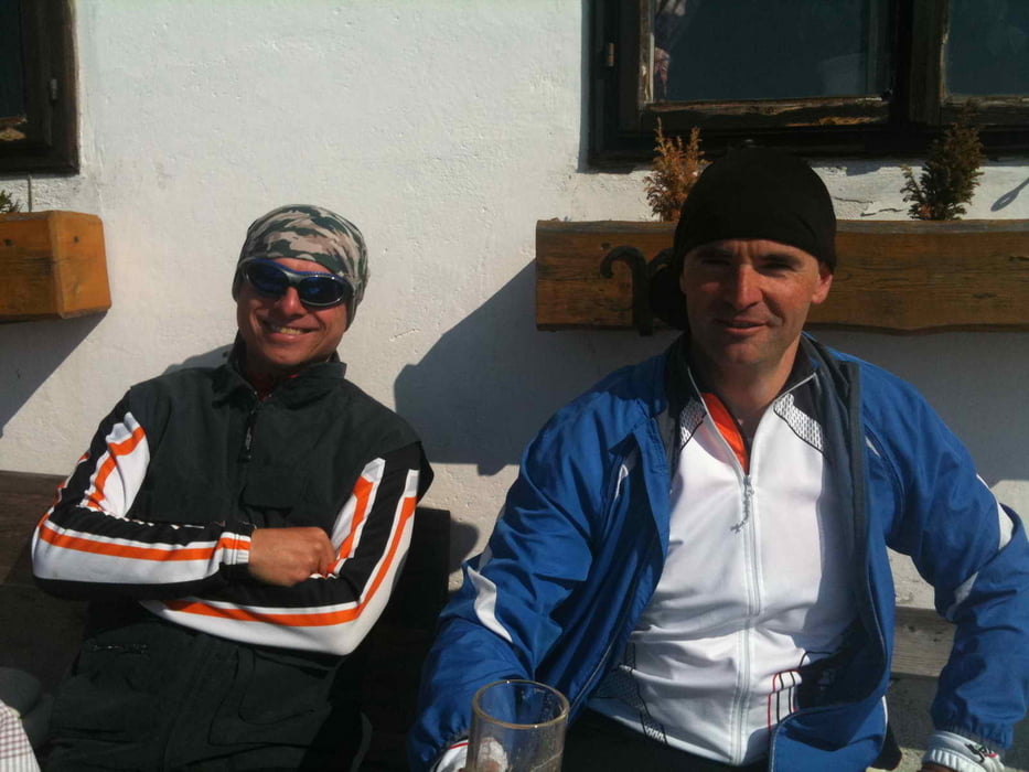
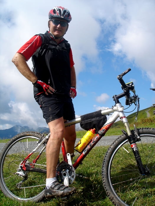
Tour gallery
Tour map and elevation profile
Minimum height 292 m
Maximum height 484 m
More about the tour author

|
andy130 |
Comments

GPS tracks
Trackpoints-
GPX / Garmin Map Source (gpx) download
-
TCX / Garmin Training Center® (tcx) download
-
CRS / Garmin Training Center® (crs) download
-
Google Earth (kml) download
-
G7ToWin (g7t) download
-
TTQV (trk) download
-
Overlay (ovl) download
-
Fugawi (txt) download
-
Kompass (DAV) Track (tk) download
-
Track data sheet (pdf) download
-
Original file of the author (gpx) download
More about the tour author
|
|
andy130 |
Add to my favorites
Remove from my favorites
Edit tags
Open track
My score
Rate