Login

Forgot your login?

Cookies have to be accepted!
Your browser's cookie functionality is disabled. Please enable this functionality.

Not a member yet?

Register now
Login

Available for registred users only

Log in to use this feature.

Forgot your login?

Cookies have to be accepted!
Your browser's cookie functionality is disabled. Please enable this functionality.

Not a member yet?

Register now
Filter
Categories
Advanced filters
  • Distance (km)
  • Height
Save filters Reset filter

TrackRank

QRCode

Technical data

Distance18,5 km Height594 m Way down613 m Duration02:00 h:m Date18.06.2011
Scores Author User Landscape Fun factor Fitness Technique

Statistics

415 Views 2 Scores 70 Downloads 3.00 Average
Rate
  • Track data sheet
  • Directions
  • Downloads

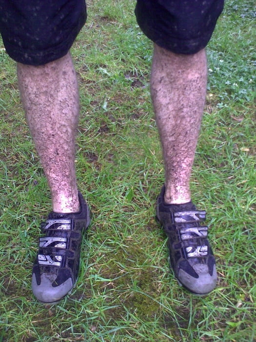
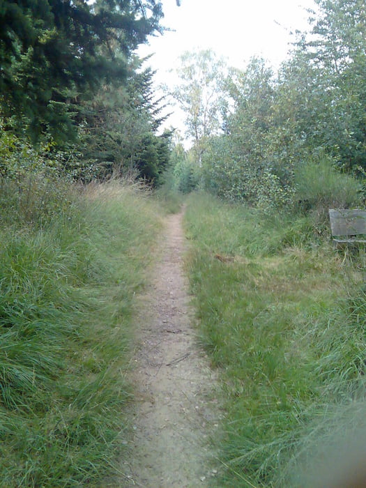
Schöne Trailtour mit viel Höhenmeter im Burgholz!

An dem Tag der Tour hat es stark geregnet alle Wege waren rutschig!

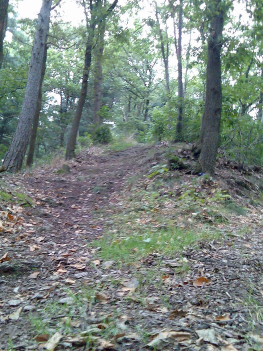
Technisch, zum teil Vorsichtig fahren da die Trail's zum teil steinig und mit Wurzeln übersäht sind.


Viel Spaß beim Nach fahren!
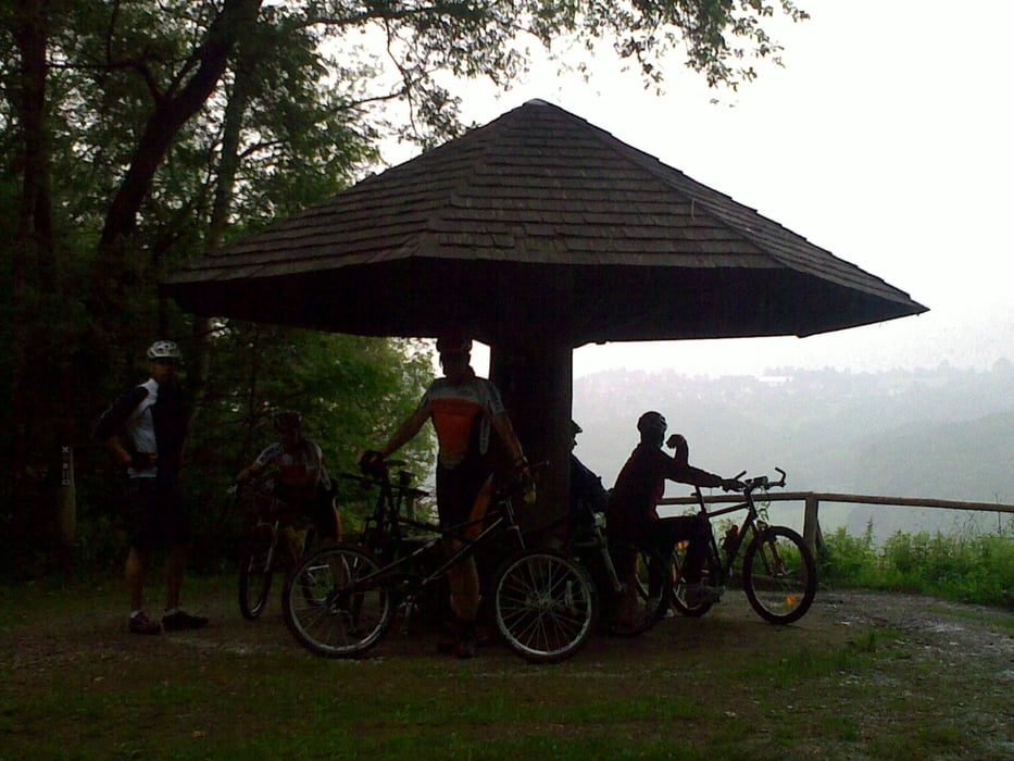
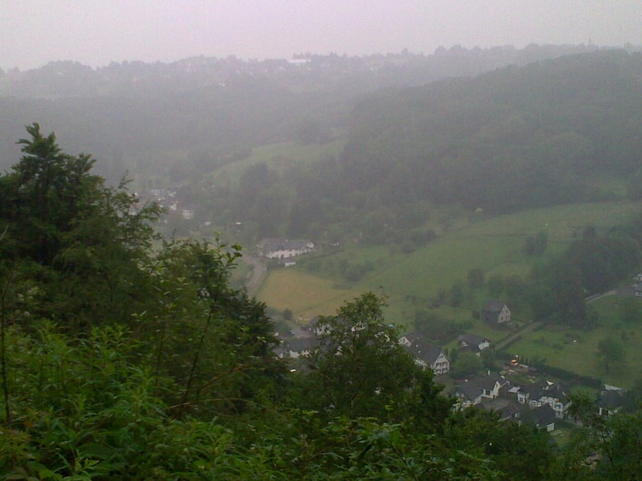
Tour gallery

Tour map and elevation profile

  • Open Street Map
  • Google
Minimum height 120 m Maximum height 310 m Detailed view

More about the tour author

MarcusVergin
Member since 2009

Send private message

Comments

GPS tracks

Trackpoints
  • GPX / Garmin Map Source (gpx) download
  • TCX / Garmin Training Center® (tcx) download
  • CRS / Garmin Training Center® (crs) download
  • Google Earth (kml) download
  • G7ToWin (g7t) download
  • TTQV (trk) download
  • Overlay (ovl) download
  • Fugawi (txt) download
  • Kompass (DAV) Track (tk) download
  • Track data sheet (pdf) download
  • Original file of the author (gpx) download

More about the tour author

MarcusVergin
Member since 2009

Send private message
Share track
Add to my favorites
Remove from my favorites
Edit tags
My score
Rate
Track: Schlammtour mit Bube
Type: Mountain bike
Distance: 18,5 km
Evaluated on:
Duration:
Day(s)
Hour(s)
Minute(s)
Score: Landscape Fun factor Fitness Technique