Login

Forgot your login?

Cookies have to be accepted!
Your browser's cookie functionality is disabled. Please enable this functionality.

Not a member yet?

Register now
Login

Available for registred users only

Log in to use this feature.

Forgot your login?

Cookies have to be accepted!
Your browser's cookie functionality is disabled. Please enable this functionality.

Not a member yet?

Register now
Filter
Categories
Advanced filters
  • Distance (km)
  • Height
Save filters Reset filter

TrackRank

QRCode

Technical data

Distance41,5 km Height698 m Way down723 m Duration00:00 h:m Date19.06.2011
Scores Author Landscape Fun factor Fitness Technique

Statistics

1763 Views Scores 87 Downloads Average
Rate
  • Track data sheet
  • Directions
  • Downloads
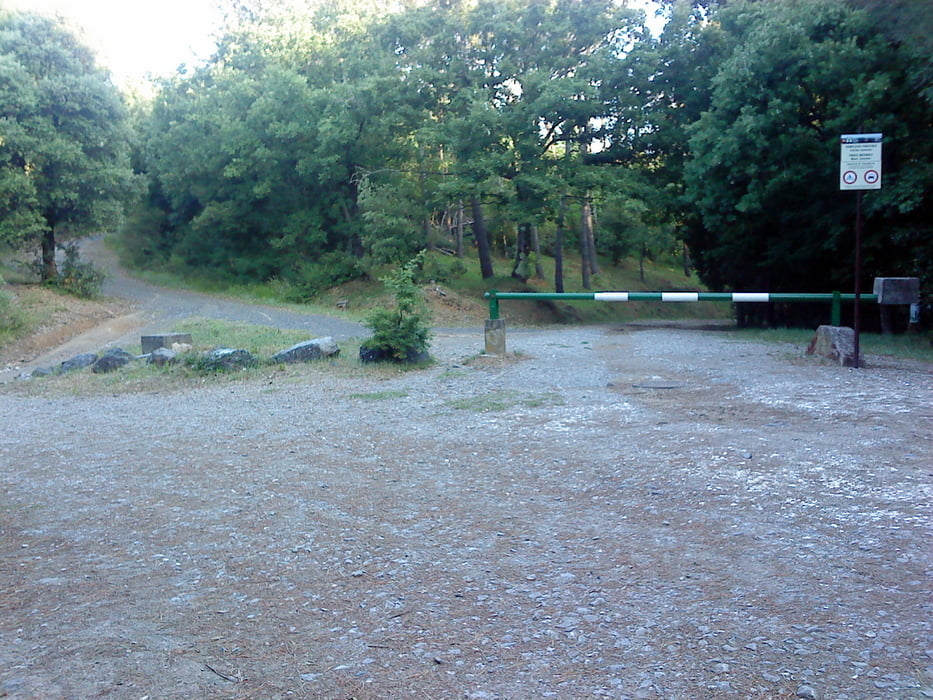
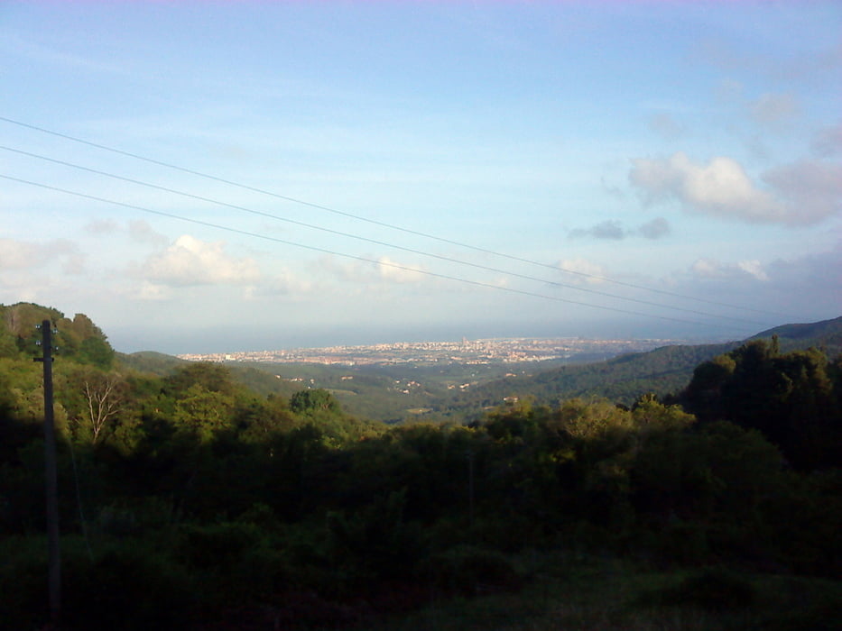
Giro piacevole di circa 2 ore e 30 minuti per le colline Livornesi, passando da un versante all'altro (Valle Benedetta - Gabbro - Castellaccio), buono il fondo stradale, fattibile durante tutto l'anno, salite con strappi non troppo impegnativi.

Tour gallery

Tour map and elevation profile

  • Open Street Map
  • Google
Minimum height 48 m Maximum height 432 m Detailed view

More about the tour author

marcofrancecris
Member since 2011

Send private message

Comments

GPS tracks

Trackpoints
  • GPX / Garmin Map Source (gpx) download
  • TCX / Garmin Training Center® (tcx) download
  • CRS / Garmin Training Center® (crs) download
  • Google Earth (kml) download
  • G7ToWin (g7t) download
  • TTQV (trk) download
  • Overlay (ovl) download
  • Fugawi (txt) download
  • Kompass (DAV) Track (tk) download
  • Track data sheet (pdf) download
  • Original file of the author (gpx) download

More about the tour author

marcofrancecris
Member since 2011

Send private message
Share track
Add to my favorites
Remove from my favorites
Edit tags
My score
Rate
Track: Parco delle Colline Livornesi
Type: Mountain bike
Distance: 41,5 km
Evaluated on:
Duration:
Day(s)
Hour(s)
Minute(s)
Score: Landscape Fun factor Fitness Technique