


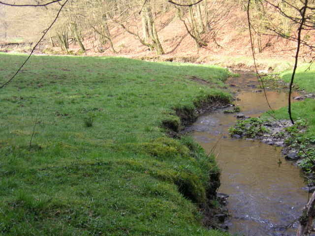
Knackige Tour mit klasse Speed Trails. Furtdurchfahrt Wasserstrecke Naturwald!
Start in Lindlar oder direkt in Frielingsdorf - an der schönen Ruine vorbei direkt in den Wald und dann gehts los.
Nur 3 % Straße. Eine echt ausgefeilte Tour ohne Absteigen und Wenn und Aber.
Start in Lindlar oder direkt in Frielingsdorf - an der schönen Ruine vorbei direkt in den Wald und dann gehts los.
Nur 3 % Straße. Eine echt ausgefeilte Tour ohne Absteigen und Wenn und Aber.
Further information at
http://www.graf-von-berg.de/ruinen/eibach/index.htmTour gallery
Tour map and elevation profile
Minimum height 198 m
Maximum height 383 m
More about the tour author

|
Schauferl |
Comments
A4 nach AbfahrtUntereschbach Lindlar Nach Lindlar Ortskern Dort gehts los!
GPS tracks
Trackpoints-
GPX / Garmin Map Source (gpx) download
-
TCX / Garmin Training Center® (tcx) download
-
CRS / Garmin Training Center® (crs) download
-
Google Earth (kml) download
-
G7ToWin (g7t) download
-
TTQV (trk) download
-
Overlay (ovl) download
-
Fugawi (txt) download
-
Kompass (DAV) Track (tk) download
-
Track data sheet (pdf) download
-
Original file of the author (gpx) download
More about the tour author
|
|
Schauferl |
Add to my favorites
Remove from my favorites
Edit tags
Open track
My score
Rate
Eher eine Trekking-Tour
Durch die moderaten Anstiege wird die Kondition nicht überstrapaziert.
Ansonsten: Speedtrails sind überwiegend schnell fahrbare Forstwege.
Zu den 3% Straße kommen noch geschätzte 20% befestigte oder glatt geschotterte Flurwege.
Insgesamt ohne viel Technik auch für MTB Einsteiger gut fahrbar. (Keinesfalls 4 Sterne)