


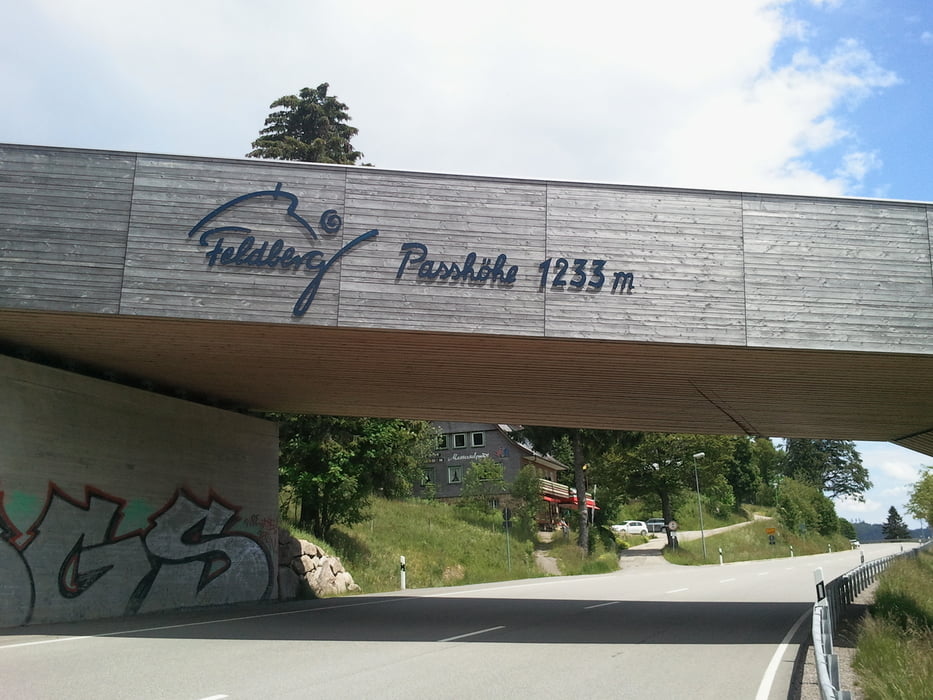
Und hier ein paar altbekannten Straßen in einer anderen Zusammensetzung mit 3schönen Steigungen.....Das Glottertal gings hoch zum warmfahren bis zum Turner (1022m) ein Stück B500 und wieder runter nach Neustadt (Schwarzwald). Es ging weiter das Gutachtal nach Kappel und hoch nach Lenzkich und zum Schluchsee. Den See entlang kann man etwas verschnaufen, denn dann geht es bergauf zur Feldberghöhe. Aussicht geniesen, warm einpacken und runter geht's nach Todtnau, hier kurz Wasser tanken und rechts weg den Notschrei hoch. Das ist ein Anstieg wie ich ihn liebe schön gleichmäßig und lang, super zu fahren. Oben angekommen kann man links zum Schauinsland und Freiburg oder wie ich nach Kirchzarten rasen. Einmal durchs Dreisamtal und den kleinen Antieg nach ST.Peter wo sich die Runde schließt.
Tour gallery

Tour map and elevation profile
Minimum height 228 m
Maximum height 1232 m
More about the tour author
|
|
titanbiker |
Comments

GPS tracks
Trackpoints-
GPX / Garmin Map Source (gpx) download
-
TCX / Garmin Training Center® (tcx) download
-
CRS / Garmin Training Center® (crs) download
-
Google Earth (kml) download
-
G7ToWin (g7t) download
-
TTQV (trk) download
-
Overlay (ovl) download
-
Fugawi (txt) download
-
Kompass (DAV) Track (tk) download
-
Track data sheet (pdf) download
-
Original file of the author (gpx) download
More about the tour author
|
|
titanbiker |
Add to my favorites
Remove from my favorites
Edit tags
Open track
My score
Rate