Login

Forgot your login?

Cookies have to be accepted!
Your browser's cookie functionality is disabled. Please enable this functionality.

Not a member yet?

Register now
Login

Available for registred users only

Log in to use this feature.

Forgot your login?

Cookies have to be accepted!
Your browser's cookie functionality is disabled. Please enable this functionality.

Not a member yet?

Register now
Filter
Categories
Advanced filters
  • Distance (km)
  • Height
Save filters Reset filter

TrackRank

QRCode

Technical data

Distance51,0 km Height2077 m Way down1598 m Duration04:10 h:m Date26.06.2011
Scores Author Landscape Fun factor Fitness Technique

Statistics

296 Views Scores 32 Downloads Average
Rate
  • Track data sheet
  • Directions
  • Downloads
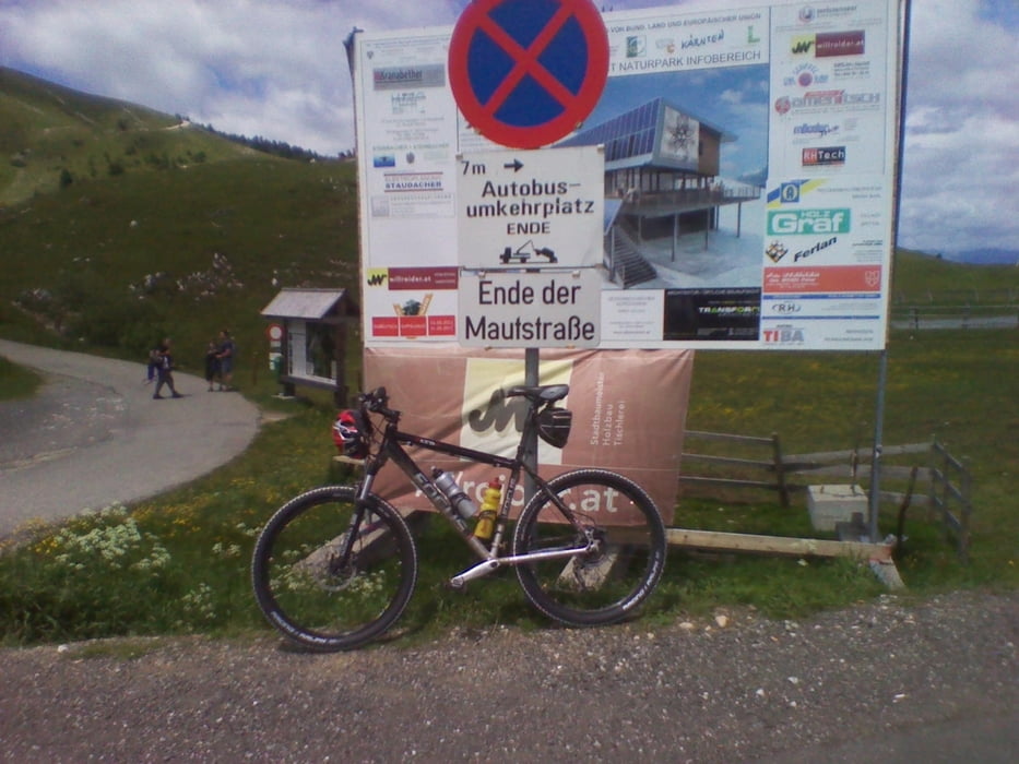
Von Villach über Weissenbach nach Mittewald weiter nach Heilligengeist kurz vorm Hundsmarhof abiegen in Richtung Kasnerin stösst mann auf die Villacher Alpenstrasse bis zum letzten Parkplatz und eine rasante Abfahrt wieder nachhause.

Tour map and elevation profile

  • Open Street Map
  • Google
Minimum height 531 m Maximum height 1786 m Detailed view

More about the tour author

deralex
Member since 2008

Send private message

Comments

GPS tracks

Trackpoints
  • GPX / Garmin Map Source (gpx) download
  • TCX / Garmin Training Center® (tcx) download
  • CRS / Garmin Training Center® (crs) download
  • Google Earth (kml) download
  • G7ToWin (g7t) download
  • TTQV (trk) download
  • Overlay (ovl) download
  • Fugawi (txt) download
  • Kompass (DAV) Track (tk) download
  • Track data sheet (pdf) download
  • Original file of the author (gpx) download

More about the tour author

deralex
Member since 2008

Send private message
Share track
Add to my favorites
Remove from my favorites
Edit tags
My score
Rate
Track: weissenbach Heilligengeist Hundsmarhof Dobratsch
Type: Mountain bike
Distance: 51,0 km
Evaluated on:
Duration:
Day(s)
Hour(s)
Minute(s)
Score: Landscape Fun factor Fitness Technique