


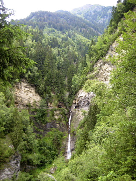
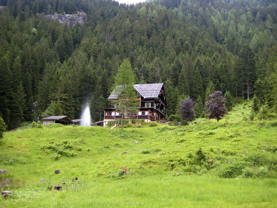
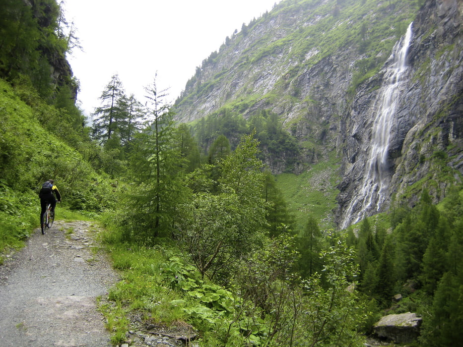
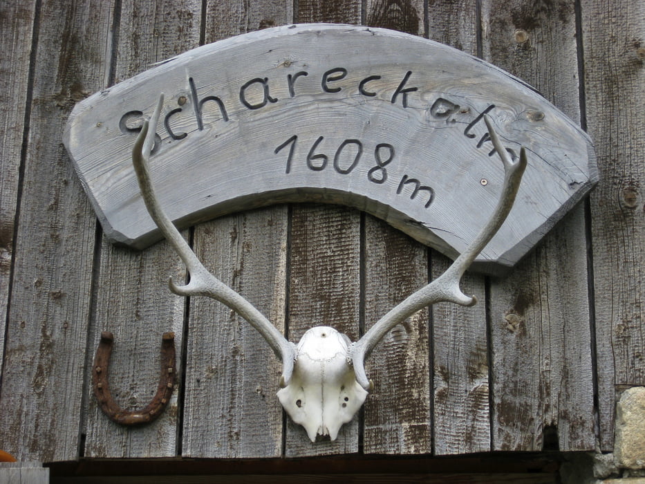
Bad Hofgastein über Gasteiner Höhenweg (sehr sehenswert aber Radfahrverbot, daher bitte langsam und vorsichtig fahren) ins Kötschachtal bis zum Gasthaus Prosset (Bild). Von dort wieder zurück - nach Hoteldorf Grüner Baum links halten und über Bad Gastein - Böckstein - Evianquelle durchs Naßffeldtal (Nomen est omen - immer wieder beeindruckende Wasserfälle beiderseits des Weges) bis nach Sportgastein (1600). Einkehrmöglichkeit in der urigen Schareckenalm (1608). Von dort rollen wir nur mehr bergab wieder zurück und entlang der Gasteiner Ache bis Bad Hofgastein.
Tour gallery
Tour map and elevation profile
Minimum height 782 m
Maximum height 1642 m
More about the tour author
|
|
funkyFalco |
Comments

Start-/Endpunkt: Bad Hofgastein
GPS tracks
Trackpoints-
GPX / Garmin Map Source (gpx) download
-
TCX / Garmin Training Center® (tcx) download
-
CRS / Garmin Training Center® (crs) download
-
Google Earth (kml) download
-
G7ToWin (g7t) download
-
TTQV (trk) download
-
Overlay (ovl) download
-
Fugawi (txt) download
-
Kompass (DAV) Track (tk) download
-
Track data sheet (pdf) download
-
Original file of the author (gpx) download
More about the tour author
|
|
funkyFalco |
Add to my favorites
Remove from my favorites
Edit tags
Open track
My score
Rate