


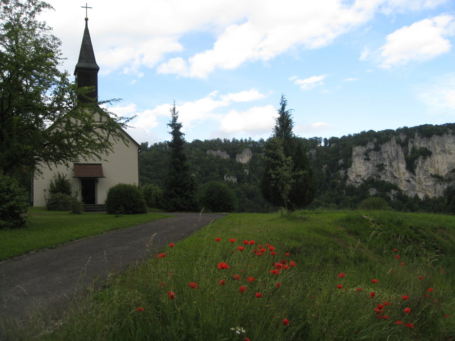
Wir fuhren mit dem Bus nach Inzigkofen. Hier starteten wir unsere Wanderung Richtung Beuron. Es war unsere erste Wanderung in diesem Gebiet und die Eindrücke waren überwältigend. Die Ausblicke auf die Felslandschaft des Donaudurchbruchs sind einmalig. Mit dem Zeitbedarf für die Wanderung hatten wir uns etwas unterschätzt. Die Steigungen auf die Felsen hinauf und hinunter waren zeitraubend. Zu unserer Mittagsrast im Gasthof Neumühle trafen wir erst um 14 Uhr ein. Da es im Juni aber lange hell ist, sind wir müde aber voller Begeisterung über die schönen Wanderpfade in Hausen wieder angekommen.
Tour gallery

Tour map and elevation profile
Minimum height 579 m
Maximum height 796 m
More about the tour author

|
hase54295 |
Comments

Bus Beuron - Sigmaringen
oder DB Inzigkofen - Hausen
Gasthof Neumühle, Neumühle 1 - 88631-Beuron - Thiergarten
GPS tracks
Trackpoints-
GPX / Garmin Map Source (gpx) download
-
TCX / Garmin Training Center® (tcx) download
-
CRS / Garmin Training Center® (crs) download
-
Google Earth (kml) download
-
G7ToWin (g7t) download
-
TTQV (trk) download
-
Overlay (ovl) download
-
Fugawi (txt) download
-
Kompass (DAV) Track (tk) download
-
Track data sheet (pdf) download
-
Original file of the author (gpx) download
More about the tour author
|
|
hase54295 |
Add to my favorites
Remove from my favorites
Edit tags
Open track
My score
Rate