
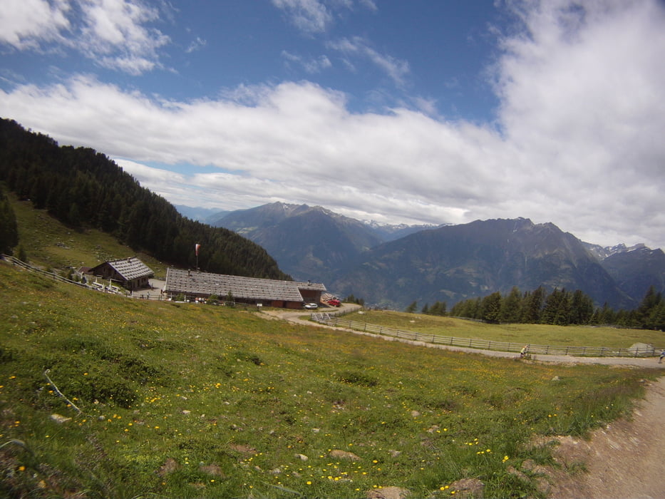

Mit der Aschbachbahn fährt man die ersten 1300 Meter und folgt dann den Forstweg Beschilderungen wie im Track zur Naturmser Alm. Das selbe kann man auch mit der Vigiljochbahn von der anderen Seite des Berges machen - siehe Track 68507!
Ab der Naturnser Alm folgt man dem Wanderweg 30A nach Plaus.
Nach ein paar hundert Metern forstweg foltg ein abwechslungsreicher Ritt auf feinsten Singletrails und es wechseln sich permanent sehr steile (aber fahrbare) Passagen mit schnellen flowingen Teilen ab. Wir mussten zahlreiche Pausen einlegen um die Bremsfüssigkeit vor dem Verdmpfen zu bewahren ;-) Farhtechnisch ein absoluter Genuss!
Update 2016: Meist S1-S2. Mehrere Passagen S3
Tour map and elevation profile
Minimum height 509 m
Maximum height 1912 m
More about the tour author

|
Kingoftheiring |
Comments

GPS tracks
Trackpoints-
GPX / Garmin Map Source (gpx) download
-
TCX / Garmin Training Center® (tcx) download
-
CRS / Garmin Training Center® (crs) download
-
Google Earth (kml) download
-
G7ToWin (g7t) download
-
TTQV (trk) download
-
Overlay (ovl) download
-
Fugawi (txt) download
-
Kompass (DAV) Track (tk) download
-
Track data sheet (pdf) download
-
Original file of the author (gpx) download
More about the tour author
|
|
Kingoftheiring |
Add to my favorites
Remove from my favorites
Edit tags
Open track
My score
Rate