
")

Start in Imst, Parkplatz Polizei. Zuerst durch die Stadt zum Radweg Gurgtal. Auf Forststrasse am Tschirgant bis Strad und noch ca. 200 Meter weiter bis zur Abzweigung Haiminger Alm. Nun gehts in einem Stück 1000 Höhenmeter hinauf zur Haiminger Alm. Abfahrt Richtung Haiming vorerst noch auf Karrenweg, dann auf Trail gehts ins Inntal hinunter. Bis auf ein paar Wurzel lässt sich alles fahren. Ansonsten einfach schieben. Bei der einzigen Abzweigung nicht weiter Richtung Haiming hinunter sondern Richtung Obsteig/Zwischensimmering. Gleich drauf gehts auf einem Forstweg zum Zwischensimmering und weiter zum Schilift/Obsteig. Nun noch flott auf Forstweg nach Mötz und von dort auf dem Inntalradweg zurück nach Imst.
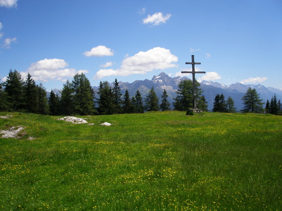
Tour gallery


Tour map and elevation profile
Minimum height 672 m
Maximum height 1792 m
More about the tour author
|
|
simplon73 |
Comments

GPS tracks
Trackpoints-
GPX / Garmin Map Source (gpx) download
-
TCX / Garmin Training Center® (tcx) download
-
CRS / Garmin Training Center® (crs) download
-
Google Earth (kml) download
-
G7ToWin (g7t) download
-
TTQV (trk) download
-
Overlay (ovl) download
-
Fugawi (txt) download
-
Kompass (DAV) Track (tk) download
-
Track data sheet (pdf) download
-
Original file of the author (gpx) download
More about the tour author
|
|
simplon73 |
Add to my favorites
Remove from my favorites
Edit tags
Open track
My score
Rate