


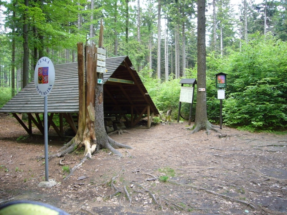
Vom Sportplatz in Waldmünchen (dort auch Parkmöglichkeit) noch SO aus der STadt heraus. Bis Lengau auf der Straße. Dann den Forstweg Kesselstraße, bis zur "Panoramastraße", wieder ein kurzes Stück auf Asphalt und dann auf Forststraße und Trails über die Grenze nach Tschechien (Ausweis nicht vergessen). Forststraße bis hinauf zur Sattelhütte.
Schmankerl zum Schluss: Cerchovsteig hinunter nach Waldmünchen. Der Steig ist fahrtechnisch anspruchsvoll: Geschwindigkeit anpassen und auf Wanderer achten.
Further information at
http://waldmuenchner-urlaubsland.de/hp691/Fuehrungen.htmTour gallery
Tour map and elevation profile
Minimum height 489 m
Maximum height 928 m
More about the tour author

|
grenz-pfad-fahrer |
Comments

Im Ort dern Schildern Richtung Sportplatz/Jahnplatz folgen.
GPS tracks
Trackpoints-
GPX / Garmin Map Source (gpx) download
-
TCX / Garmin Training Center® (tcx) download
-
CRS / Garmin Training Center® (crs) download
-
Google Earth (kml) download
-
G7ToWin (g7t) download
-
TTQV (trk) download
-
Overlay (ovl) download
-
Fugawi (txt) download
-
Kompass (DAV) Track (tk) download
-
Track data sheet (pdf) download
-
Original file of the author (gpx) download
More about the tour author
|
|
grenz-pfad-fahrer |
Add to my favorites
Remove from my favorites
Edit tags
Open track
My score
Rate