
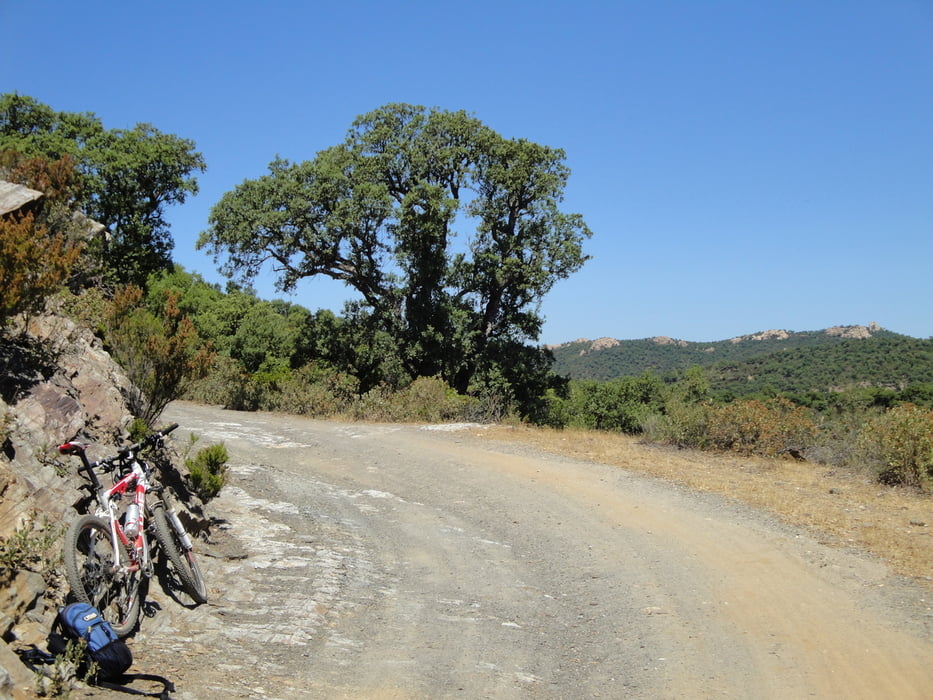

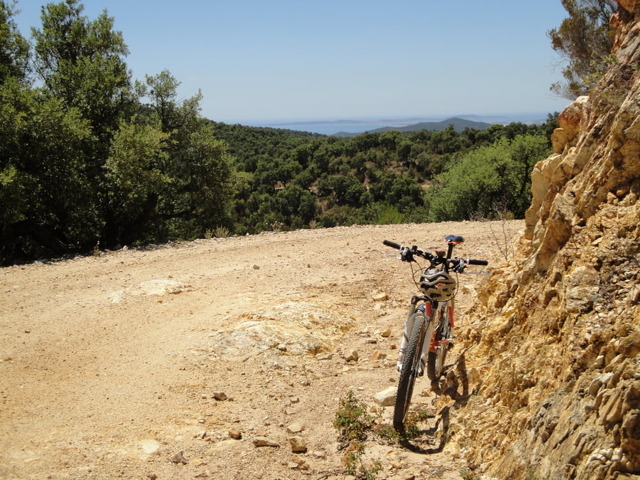
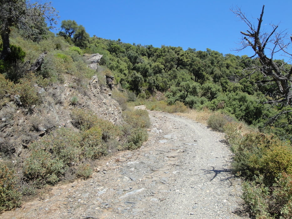
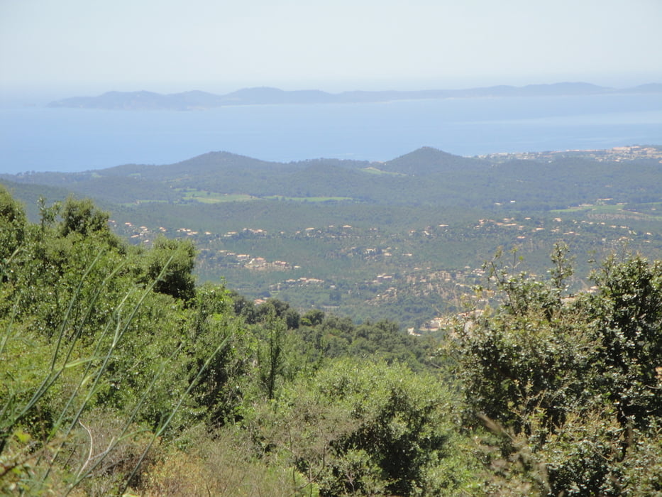
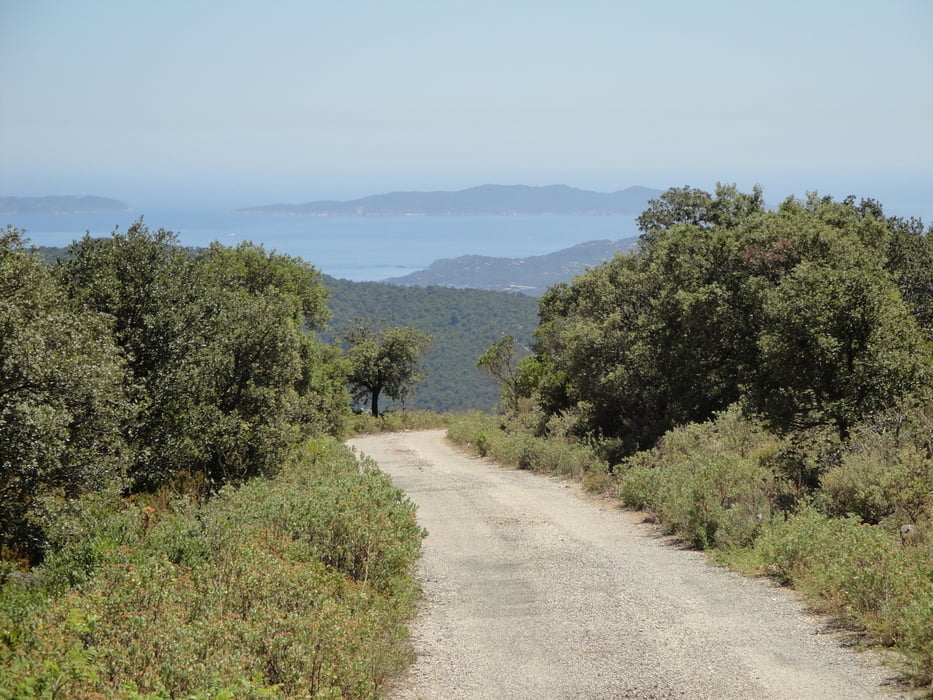
Ich bin von meinem Feriendomiziel der Halbinsel Giens gestartet. Nach einer Einrollphase geht es dann auf Schotterwegen durch eine herrliche Landschaft mit wunderschönen Ausblicken.
Die Wegebezeichnungen lauteten: Chemaines des Maures , Piste de Notres-Dames des Maures, Rieille de Valcros, Col de Babaou, Piste du Laguina (GR 51), Route Lambert, Pistede la Bouissede, D559a, Val Rose, la Londe les Maures, l`Ayguade.
Es empfielt sich die Tour im Uhrzersinn zu fahren.
Tour gallery
Tour map and elevation profile
Minimum height -19 m
Maximum height 584 m
More about the tour author

|
ekke-sauter |
Comments

In die Tour kann man überall einsteigen.
Es empfielt sich die Tour im Uhrzeigersinn zu fahren.
GPS tracks
Trackpoints-
GPX / Garmin Map Source (gpx) download
-
TCX / Garmin Training Center® (tcx) download
-
CRS / Garmin Training Center® (crs) download
-
Google Earth (kml) download
-
G7ToWin (g7t) download
-
TTQV (trk) download
-
Overlay (ovl) download
-
Fugawi (txt) download
-
Kompass (DAV) Track (tk) download
-
Track data sheet (pdf) download
-
Original file of the author (gpx) download
More about the tour author
|
|
ekke-sauter |
Add to my favorites
Remove from my favorites
Edit tags
Open track
My score
Rate