


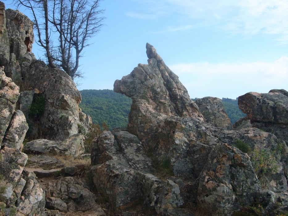
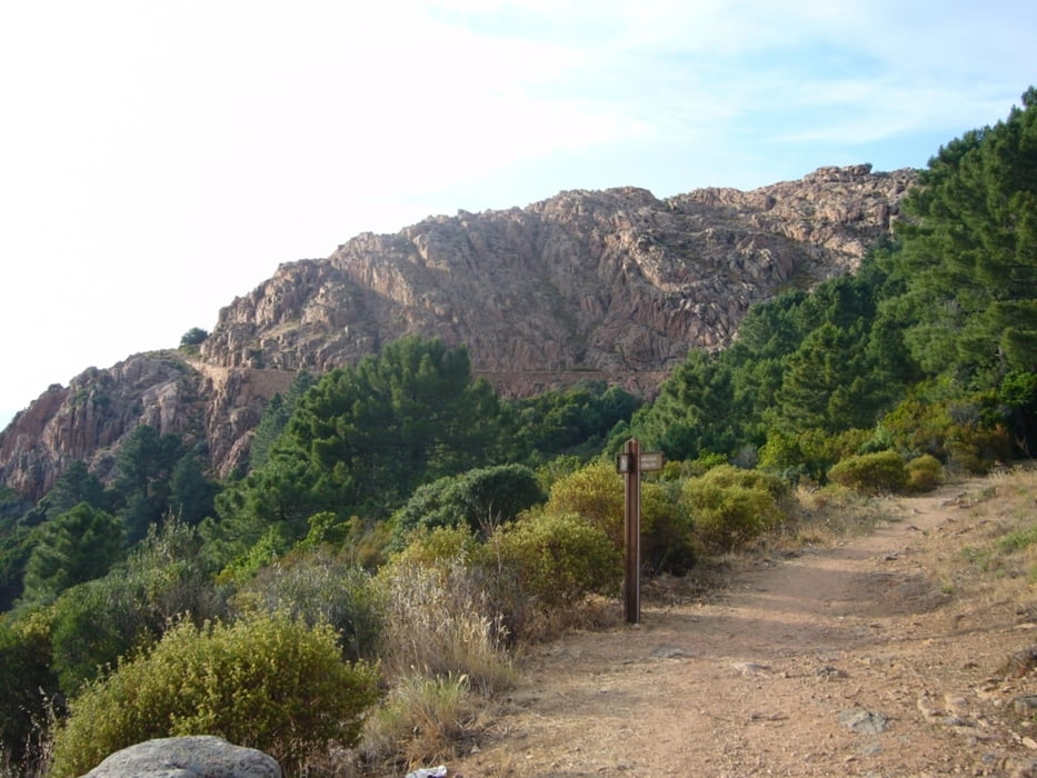
Wunderschöne Rundwanderung durch die Calanche und ihre beeindruckenden Tafoni Felsformationen. Ab- und Aufstieg recht steil, knöchelhohes Schuhwerk und Trittsicherheit erforderlich. GPS Empfang war im Bereich des Abstiegs zur Straße recht schlecht, der Weg ist aber markiert.
Further information at
http://de.wikipedia.org/wiki/CalancheTour gallery


Tour map and elevation profile
Minimum height 436 m
Maximum height 710 m
More about the tour author

|
grenz-pfad-fahrer |
Comments

Parkmöglichkeiten an der Straße zwischen Porto und Piana (in der Hauptsaison evtl. etwas eingeschränkt).
GPS tracks
Trackpoints-
GPX / Garmin Map Source (gpx) download
-
TCX / Garmin Training Center® (tcx) download
-
CRS / Garmin Training Center® (crs) download
-
Google Earth (kml) download
-
G7ToWin (g7t) download
-
TTQV (trk) download
-
Overlay (ovl) download
-
Fugawi (txt) download
-
Kompass (DAV) Track (tk) download
-
Track data sheet (pdf) download
-
Original file of the author (gpx) download
More about the tour author
|
|
grenz-pfad-fahrer |
Add to my favorites
Remove from my favorites
Edit tags
Open track
My score
Rate