


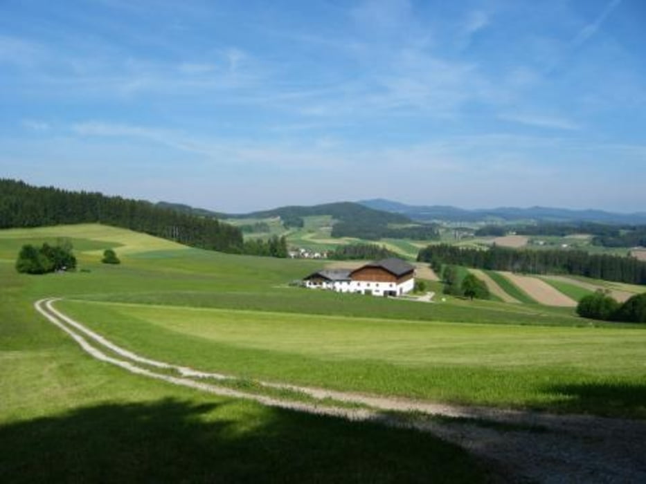
Ob mit dem Trekkinbike oder mit dem Rennrad, es ist ein Genuss bergauf bergab durch die herrliche Mühlviertler Hügellandschaft zu radeln.
Man spürt den rauhen Bömischen Wind auf der Haut und denkt sich
" wie schön ist doch diese Naturlandschaft."
Dankbarkeit, Zufriedenheit und eine Welle von Glücksgefühl erfüllt Geist und Körper.
Man freut sich auf ein kühles Freistädter Bier und eine schmackhafte Jause in einem gemütlichen Gastgarten.
Further information at
http://www.kraeuter-wirt.atTour gallery


Tour map and elevation profile
Minimum height 594 m
Maximum height 841 m
More about the tour author
|
|
Kraeuterwirt |
Comments

Von Linz Autobahn Richtung Freistadt bis Autobahn ende. Weiter auf der B310 bis Freistadt maps.google.de
GPS tracks
Trackpoints-
GPX / Garmin Map Source (gpx) download
-
TCX / Garmin Training Center® (tcx) download
-
CRS / Garmin Training Center® (crs) download
-
Google Earth (kml) download
-
G7ToWin (g7t) download
-
TTQV (trk) download
-
Overlay (ovl) download
-
Fugawi (txt) download
-
Kompass (DAV) Track (tk) download
-
Track data sheet (pdf) download
-
Original file of the author (gpx) download
More about the tour author
|
|
Kraeuterwirt |
Add to my favorites
Remove from my favorites
Edit tags
Open track
My score
Rate