


Von Rindbach aus über die Forststraße immer taleinwärts. Nach ca. 5 km wendet sich die Strecke und man fährt wieder talauswärts. Steigung immer zwischen 8% und 10 %
Nach weiteren 5 km kommt man dann zu einem Holzplatz bzw. zur Materialseilbahn der Gasslhütte.
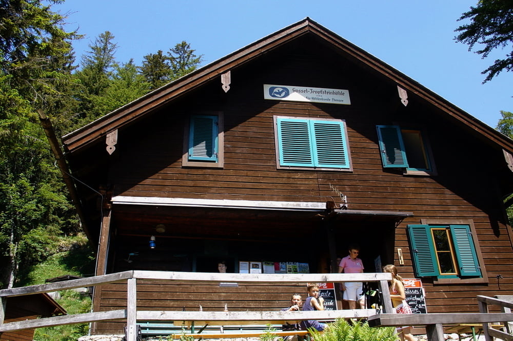
Vor hier an gehts zu Fuß ca. 200 HM (ca. 30 Min) zur Hütte der Gasslhöhlen (0664/3909170). Sehr nette Wirtsleute bemühen sich um das Wohl der Gäste. In Absprache kann man dann eine Führung in die tiefen der beeindruckenden Gasslhöhen machen.
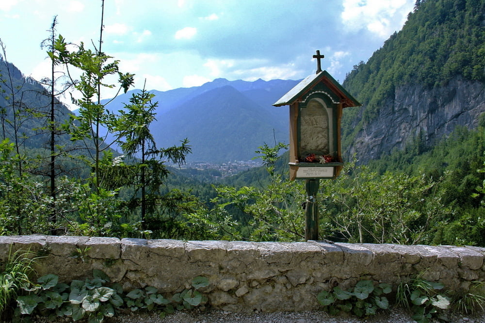
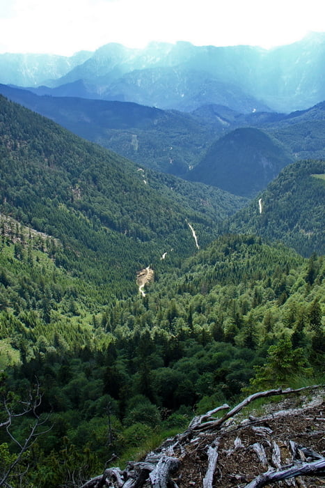
Sehr lohnend ist auch noch der Aufstieg zu Gipfelkreuz der Gasslkegerl (ca. 100 HM). Ein traumhafter Ausblick belohnt die Mühen.
Unbedingt empfehlenswert.Diese Kombination muss man gemacht haben!
Bergschuhe sollte man mitnehmen. Eine Jacke für die Gasslhöhlen (ca. 6-7 Grad) ist ebenfalls zu empfehlen.
Further information at
http://www.gasselhoehle.at/Tour gallery

Tour map and elevation profile
Minimum height 444 m
Maximum height 1217 m
More about the tour author
|
|
buchesie |
Comments

GPS tracks
Trackpoints-
GPX / Garmin Map Source (gpx) download
-
TCX / Garmin Training Center® (tcx) download
-
CRS / Garmin Training Center® (crs) download
-
Google Earth (kml) download
-
G7ToWin (g7t) download
-
TTQV (trk) download
-
Overlay (ovl) download
-
Fugawi (txt) download
-
Kompass (DAV) Track (tk) download
-
Track data sheet (pdf) download
-
Original file of the author (gpx) download
More about the tour author
|
|
buchesie |
Add to my favorites
Remove from my favorites
Edit tags
Open track
My score
Rate