Login

Forgotten password?

Cookies have to be accepted!
Your browser's cookie functionality is disabled. Please enable this functionality.

Not a member yet?

Register now
Login

Available for registred users only

Log in to use this feature.

Forgotten password?

Cookies have to be accepted!
Your browser's cookie functionality is disabled. Please enable this functionality.

Not a member yet?

Register now
Filter
Categories
Advanced filters
  • Distance (km)
  • Height
Save filters Reset filter

TrackRank

QRCode

Technical data

Distance11,2 km Height234 m Way down235 m Duration02:15 h:m Date03.07.2011
Scores Author User Landscape Fun factor Fitness Technique

Statistics

1635 Views 1 Score 82 Downloads 5.00 Average
Rate
  • Track data sheet
  • Directions
  • Downloads


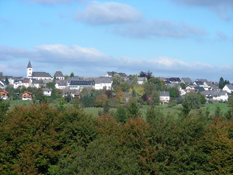
schöne Wanderung  von 11km um Schüller,

los gehts an der " Alten Kapelle" in Schüller,

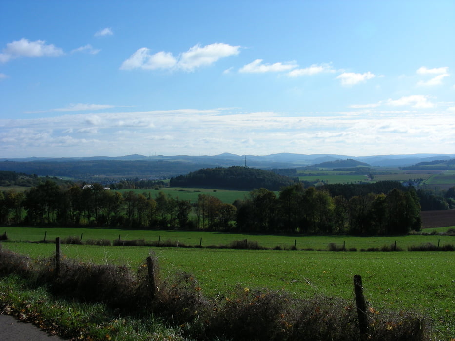
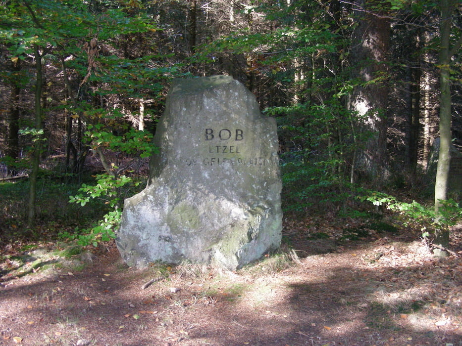
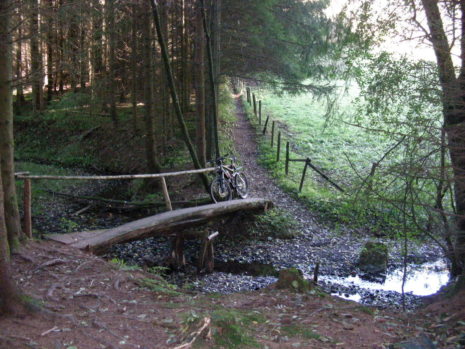
von dort wandern wir ins Tal der Tütbach, uberqueren diesen über den schmalen Steg, halten uns dann rechts - Gönnersdorf - Burgberg Lissendorf - an den Ferienhäusern von Lissendorf vorbei -   Bob Etzel - Sieben Wege  - Schüller

Viel Spaß


Further information at

http://www.schüller-eifel.de/

Tour gallery

Tour map and elevation profile

  • Open Street Map
  • Google
Minimum height 441 m Maximum height 604 m Detailed view

More about the tour author

Eisa
Member since 2008

Send private message

Comments

pier1952 on 13.01.2018

herfst

zeer fraaie omgeving met veel interessante paddenstoelen om te fotograferen.

GPS tracks

Trackpoints
  • GPX / Garmin Map Source (gpx) download
  • TCX / Garmin Training Center® (tcx) download
  • CRS / Garmin Training Center® (crs) download
  • Google Earth (kml) download
  • G7ToWin (g7t) download
  • TTQV (trk) download
  • Overlay (ovl) download
  • Fugawi (txt) download
  • Kompass (DAV) Track (tk) download
  • Track data sheet (pdf) download
  • Original file of the author (gpx) download

More about the tour author

Eisa
Member since 2008

Send private message
Share track
Add to my favorites
Remove from my favorites
Edit tags
My score
Rate
Track: Schüller - Burgberg Lissendorf - Bob Etzel - Schüller
Type: Hiking
Distance: 11,2 km
Evaluated on:
Duration:
Day(s)
Hour(s)
Minute(s)
Score: Landscape Fun factor Fitness Technique