Login

Forgot your login?

Cookies have to be accepted!
Your browser's cookie functionality is disabled. Please enable this functionality.

Not a member yet?

Register now
Login

Available for registred users only

Log in to use this feature.

Forgot your login?

Cookies have to be accepted!
Your browser's cookie functionality is disabled. Please enable this functionality.

Not a member yet?

Register now
Filter
Categories
Advanced filters
  • Distance (km)
  • Height
Save filters Reset filter

TrackRank

QRCode

Technical data

Distance23,4 km Height637 m Way down633 m Duration00:00 h:m Date03.07.2011
Scores Author Landscape Fun factor Fitness Technique

Statistics

332 Views Scores 71 Downloads Average
Rate
  • Track data sheet
  • Directions
  • Downloads

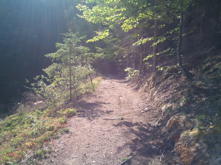
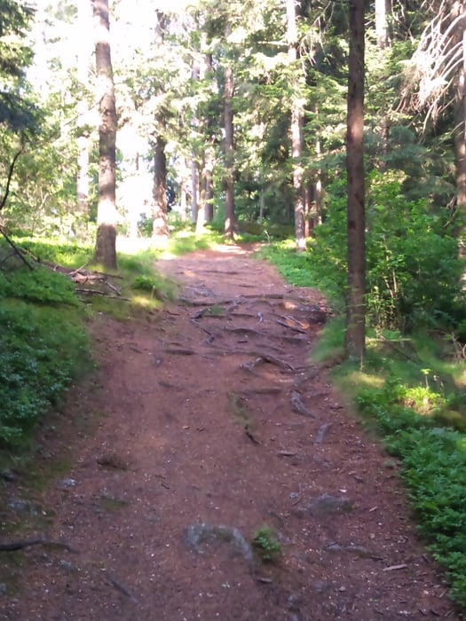
Leichte Tour entlang des örtlich bekannten Rundwanderweges zu Steinen und Höhlen, um die sich geheimnisvolle Sagen und Legenden ranken (Hochstein, Drucker Franzl - Stein und Pfaffenhaus).

Mäßig anspruchsvolle Tour mit teils schönen Ausblicken über das obere Mühlviertel.

Tour gallery

Tour map and elevation profile

  • Open Street Map
  • Google
Minimum height 547 m Maximum height 921 m Detailed view

More about the tour author

leiti
Member since 2009

Send private message

Comments

Ausgangspunkt Marktplatz Kollerschlag

GPS tracks

Trackpoints
  • GPX / Garmin Map Source (gpx) download
  • TCX / Garmin Training Center® (tcx) download
  • CRS / Garmin Training Center® (crs) download
  • Google Earth (kml) download
  • G7ToWin (g7t) download
  • TTQV (trk) download
  • Overlay (ovl) download
  • Fugawi (txt) download
  • Kompass (DAV) Track (tk) download
  • Track data sheet (pdf) download
  • Original file of the author (gpx) download

More about the tour author

leiti
Member since 2009

Send private message
Share track
Add to my favorites
Remove from my favorites
Edit tags
My score
Rate
Track: Stoanaweg
Type: Mountain bike
Distance: 23,4 km
Evaluated on:
Duration:
Day(s)
Hour(s)
Minute(s)
Score: Landscape Fun factor Fitness Technique