


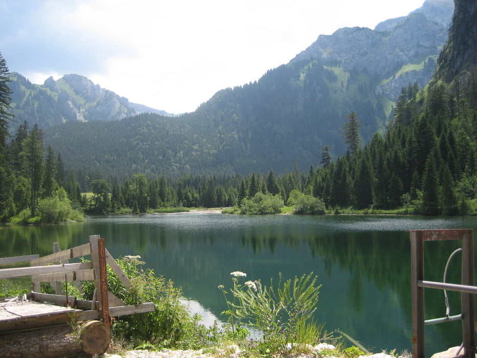
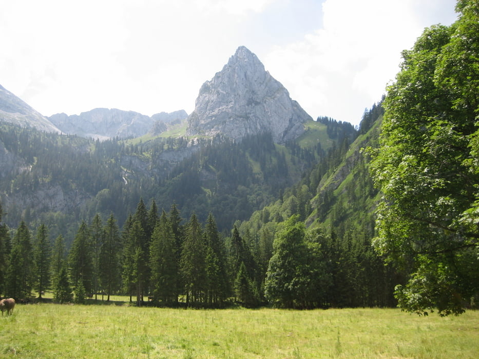
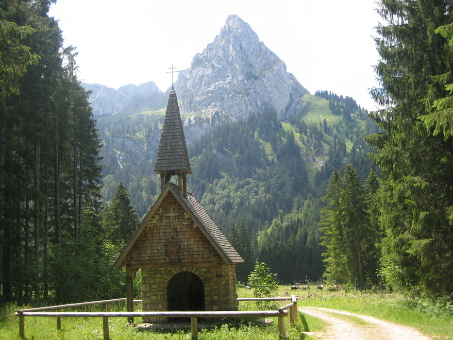
Schöne Tour durch die Vorberge der Ammergauer Alpen. Start in Schwangau am Thermalbad. in nördlicher Richtung durch Schwangau zum Ortsteil Mühlberg, zur B17, kurz auf Wirtschaftsweg an dieser entlang und dann queren Richtung Drehhütte. Gleich danach links abzeigen zum Mühlberger Älpele, hochfahren bis zu großer Kreuzung, hier den Weg "Sackweg zum Markgraben" nehmen. Es geht ins Lobental, dort an der Kreuzung den Weg durch die Bockstallschlucht nehmen (kurze Schiebepassagen). Auffahrt zur Kenzenhütte und auf gleichem wieder ein Stück zurück, weiter auf der Fahrstrasse, bis in einer LInkskurve ein Forstweg nach rechts oben abzweigt, hier hoch und weiter zur Wasserscheide und auf ausgewiesener Radroute nach Unternogg. Schönes Gasthaus zur Einkehr, dann auf dem "Königssträssle" zurück nach Trauchgau und weiter nach Schwangau.
Further information at
http://helwa.deTour gallery
Tour map and elevation profile
Minimum height 712 m
Maximum height 1328 m
More about the tour author

|
helwa |
Comments

von Füssen nach Schwangau, am Ortsanfang links abbiegen zur "königlichen Kristalltherme", hier kostenlos parken. Alternativ durch Schwangau Richtung München bis Abzweigung "Drehhütte", nach 150 m Parkmöglichkeit.
GPS tracks
Trackpoints-
GPX / Garmin Map Source (gpx) download
-
TCX / Garmin Training Center® (tcx) download
-
CRS / Garmin Training Center® (crs) download
-
Google Earth (kml) download
-
G7ToWin (g7t) download
-
TTQV (trk) download
-
Overlay (ovl) download
-
Fugawi (txt) download
-
Kompass (DAV) Track (tk) download
-
Track data sheet (pdf) download
-
Original file of the author (gpx) download
More about the tour author
|
|
helwa |
Add to my favorites
Remove from my favorites
Edit tags
Open track
My score
Rate