


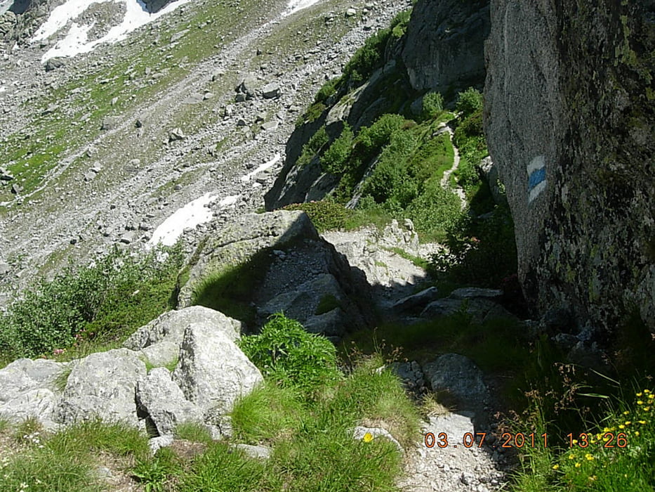
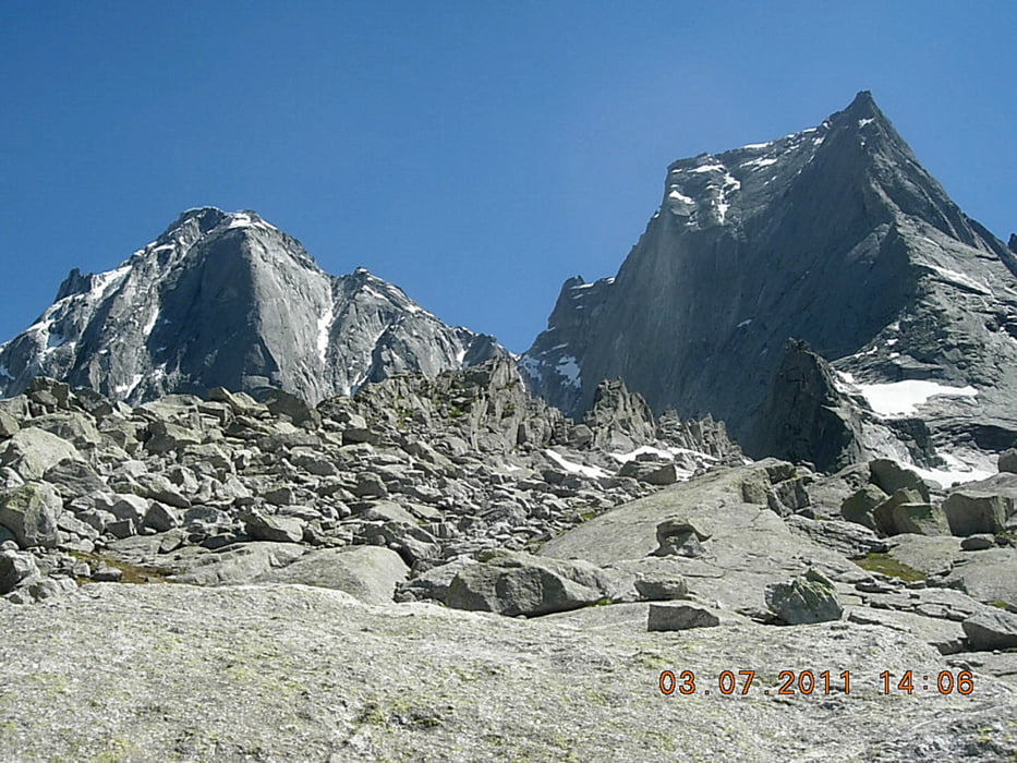
percorso ad anello su un impegnativo sentiero con tratti attrezzati, EE, che da Laret in Val Bondasca sale alla Capanna Sciora e in traversata sotto le pareti nord del Cengalo e del Badile e salendo il Viale giunge alla Capanna Sasc Furà, per ridiscendere a Laret. Bellissimo paesaggio sotto le impressionanti pareti nord. La traccia arriva fino a dopo il passaggio del Viale, prima di scendere verso la Capanna Sas Furà. Il sentiero che scende dalla CApanna a Laret è fra i più ripidi che abbia mai fatto.
Tour gallery


Tour map and elevation profile
Minimum height 1415 m
Maximum height 2317 m
More about the tour author
|
|
Fluxus |
Comments

GPS tracks
Trackpoints-
GPX / Garmin Map Source (gpx) download
-
TCX / Garmin Training Center® (tcx) download
-
CRS / Garmin Training Center® (crs) download
-
Google Earth (kml) download
-
G7ToWin (g7t) download
-
TTQV (trk) download
-
Overlay (ovl) download
-
Fugawi (txt) download
-
Kompass (DAV) Track (tk) download
-
Track data sheet (pdf) download
-
Original file of the author (gpx) download
More about the tour author
|
|
Fluxus |
Add to my favorites
Remove from my favorites
Edit tags
Open track
My score
Rate