Login

Forgot your login?

Cookies have to be accepted!
Your browser's cookie functionality is disabled. Please enable this functionality.

Not a member yet?

Register now
Login

Available for registred users only

Log in to use this feature.

Forgot your login?

Cookies have to be accepted!
Your browser's cookie functionality is disabled. Please enable this functionality.

Not a member yet?

Register now
Filter
Categories
Advanced filters
  • Distance (km)
  • Height
Save filters Reset filter

TrackRank

QRCode

Technical data

Distance57,4 km Height91 m Way down309 m Duration04:00 h:m Date10.07.2011
Scores Author Landscape Fun factor Fitness Technique

Statistics

231 Views Scores 18 Downloads Average
Rate
  • Track data sheet
  • Directions
  • Downloads
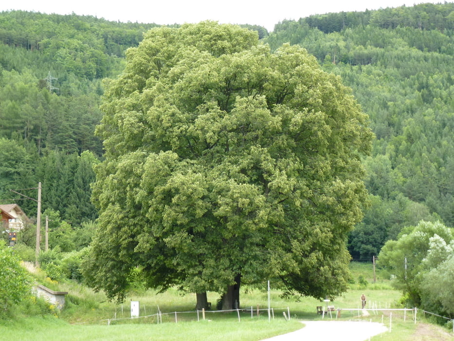
 Vom Bahnhof Payerbach Reichenau geht es zum Mammutbaum und dann den Schwarzatalradweg Richtung Steinfeld. Sehr gut beschrifteter Radweg, mit Ausnahme bei Neunkirchen.

Tour gallery

Tour map and elevation profile

  • Open Street Map
  • Google
Minimum height 273 m Maximum height 515 m Detailed view

More about the tour author

hans29
Member since 2005

Send private message

Comments

 Mit der Südbahn bis nach Payerbach-Reichenau

GPS tracks

Trackpoints
  • GPX / Garmin Map Source (gpx) download
  • TCX / Garmin Training Center® (tcx) download
  • CRS / Garmin Training Center® (crs) download
  • Google Earth (kml) download
  • G7ToWin (g7t) download
  • TTQV (trk) download
  • Overlay (ovl) download
  • Fugawi (txt) download
  • Kompass (DAV) Track (tk) download
  • Track data sheet (pdf) download
  • Original file of the author (gpx) download

More about the tour author

hans29
Member since 2005

Send private message
Share track
Add to my favorites
Remove from my favorites
Edit tags
My score
Rate
Track: Payerbach-Theresienfeld
Type: Trekkingbike
Distance: 57,4 km
Evaluated on:
Duration:
Day(s)
Hour(s)
Minute(s)
Score: Landscape Fun factor Fitness Technique