


Der Körper wollte Höhenmeter und er bekam sie ;-)
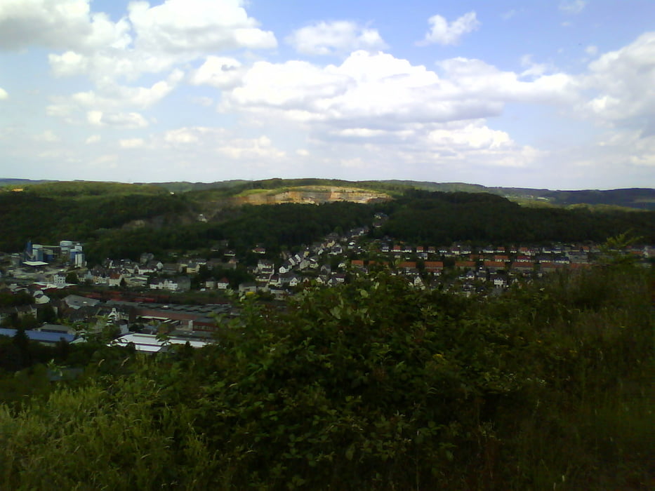
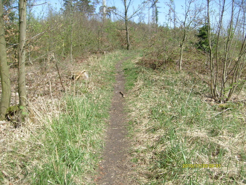
Diese Tour startet in HA-Wehringhausen und führt über den Volmehangtrail nach Emst. Von dort geht es über eine schöne Trailabfahrt nach Holthausen. Von da geht es dann immer wieder bergauf und bergab auf Schotter- und Waldpisten. Immer wieder hat man schönste Aussichten. Man verbrennt ordentlich Körner. Es empfiehlt sich genug zu trinken und etwas zum mampfen mit zunehmen, denn die wirklich erste Einkehrmöglichkeit ist ein Italiener in Wiblingwerde. An zwei steilen Rampen kann man durchaus auch mal schieben....
Eine schöne Tagestour mit reichlich HM und abwechslungsreichen Abfahrten auch mit Trails.
Viel Spazzzzz
Tour gallery


Tour map and elevation profile
Minimum height 125 m
Maximum height 502 m
More about the tour author
|
|
Ghostrocker |
Comments

GPS tracks
Trackpoints-
GPX / Garmin Map Source (gpx) download
-
TCX / Garmin Training Center® (tcx) download
-
CRS / Garmin Training Center® (crs) download
-
Google Earth (kml) download
-
G7ToWin (g7t) download
-
TTQV (trk) download
-
Overlay (ovl) download
-
Fugawi (txt) download
-
Kompass (DAV) Track (tk) download
-
Track data sheet (pdf) download
-
Original file of the author (gpx) download
More about the tour author
|
|
Ghostrocker |
Add to my favorites
Remove from my favorites
Edit tags
Open track
My score
Rate