


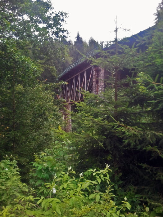
Nun zu meiner 2.Runde durchs Riesengebirge, wer das Gebiet kennt weiß das die angelegten Radwege meistens mit einer Bitumendecke überzogen sind und die anderen Wanderwege für Räder gesperrt sind. Darum ist hier an hoher Asphaltanteil dabei wobei ich aber auch außerhalb des Krkonose Naturpark ein paar schöne Schotterpisten und Abfahrten gefunden habe. Einfach mal reinzoomen bei 3D Earth dann sieht man es schon. Ansonsten gibt es nicht viel zu sagen, am Anfang und ziemlich am Ende steht ein 500hm Berg an, sonst ist es wellig aber das sieht man ja am Höhenprofil.
Tour gallery


Tour map and elevation profile
Minimum height 482 m
Maximum height 1139 m
More about the tour author
|
|
titanbiker |
Comments

GPS tracks
Trackpoints-
GPX / Garmin Map Source (gpx) download
-
TCX / Garmin Training Center® (tcx) download
-
CRS / Garmin Training Center® (crs) download
-
Google Earth (kml) download
-
G7ToWin (g7t) download
-
TTQV (trk) download
-
Overlay (ovl) download
-
Fugawi (txt) download
-
Kompass (DAV) Track (tk) download
-
Track data sheet (pdf) download
-
Original file of the author (gpx) download
More about the tour author
|
|
titanbiker |
Add to my favorites
Remove from my favorites
Edit tags
Open track
My score
Rate