


+ Ideale Tagestour
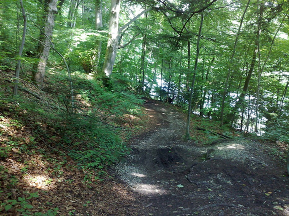
+ Viele Trails an der Isar
+ Mit Biergärten-Stops auf halbem Weg im Aujäger und Zur Mühle
+ ca. 7-8 Stunden mit Pausen
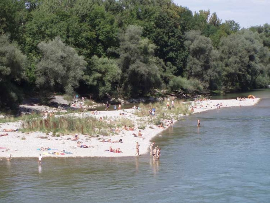
+ Bademöglichkeiten
- Zwei mal mussten wir kurze strecken wenden
- Rückweg immer mal wieder sehr große Baumstämme im Weg (zw. Aujäger & Zur Mühle
Further information at
http://www.spidertrip.de/muenchen/isarauen.htmTour gallery

Tour map and elevation profile
Minimum height 507 m
Maximum height 590 m
More about the tour author
|
|
suwide |
Comments

- UBahn Obersendling U3 maps.google.com/maps/place
- SBahn Siemenswerke S7/S20/S27 maps.google.com/maps/place
- SBahn Siemenswerke S7/S20/S27 maps.google.com/maps/place
GPS tracks
Trackpoints-
GPX / Garmin Map Source (gpx) download
-
TCX / Garmin Training Center® (tcx) download
-
CRS / Garmin Training Center® (crs) download
-
Google Earth (kml) download
-
G7ToWin (g7t) download
-
TTQV (trk) download
-
Overlay (ovl) download
-
Fugawi (txt) download
-
Kompass (DAV) Track (tk) download
-
Track data sheet (pdf) download
-
Original file of the author (gpx) download
More about the tour author
|
|
suwide |
Add to my favorites
Remove from my favorites
Edit tags
Open track
My score
Rate